Export Processing Zone · China
Guoyang Industrial Park Active
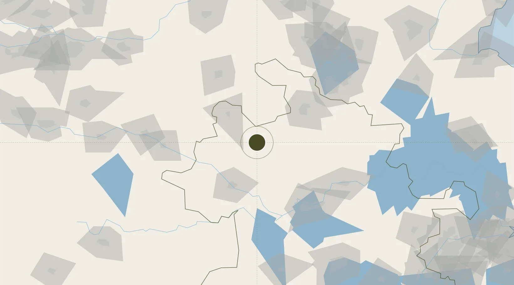
33.4987°, 116.1757°
1,499 ha
Zone area
287.5 km
Nearest port
79.9 km
Nearest airport
Gateway access
Zone profile
Zone type
Export Processing Zone
Region
Anhui
Status
Active
Management
Public
Operator
Working Committee of Anhui Guoyang Economic Development Zone
Legal framework
Notice of Anhui Provincial People's Government on Printing and Distributing Some Policies supporting the Construction of Manufacturing Powerhouse Province (Anhui Government [2017] No. 53)
Location
Nearby Logistics Neighbours
Ports
- 1Nanjing288 km
- 2Lianyungang331 km
- 3Yangzhou334 km
- 4Zhenjiang336 km
- 5Lanshan342 km
Airports
- 1Fuyang Xiguan Airport80 km
- 2Bengbu Tenghu Airport90 km
- 3Shangqiu Air Base125 km
- 4Xuzhou Daguozhang Air Base128 km
- 5Bengbu Tenghu Airport129 km
Cities
- 1Mengcheng43 km
- 2Xiaoxian103 km
- 3Zhaogang114 km
- 4Bengbu129 km
- 5Qingguji / Shangqiu137 km
DatabookThe Record of Consolidated Knowledge
China beyond logistics?