Diversified Zone · China

Dean Industrial Park (Zone) Active
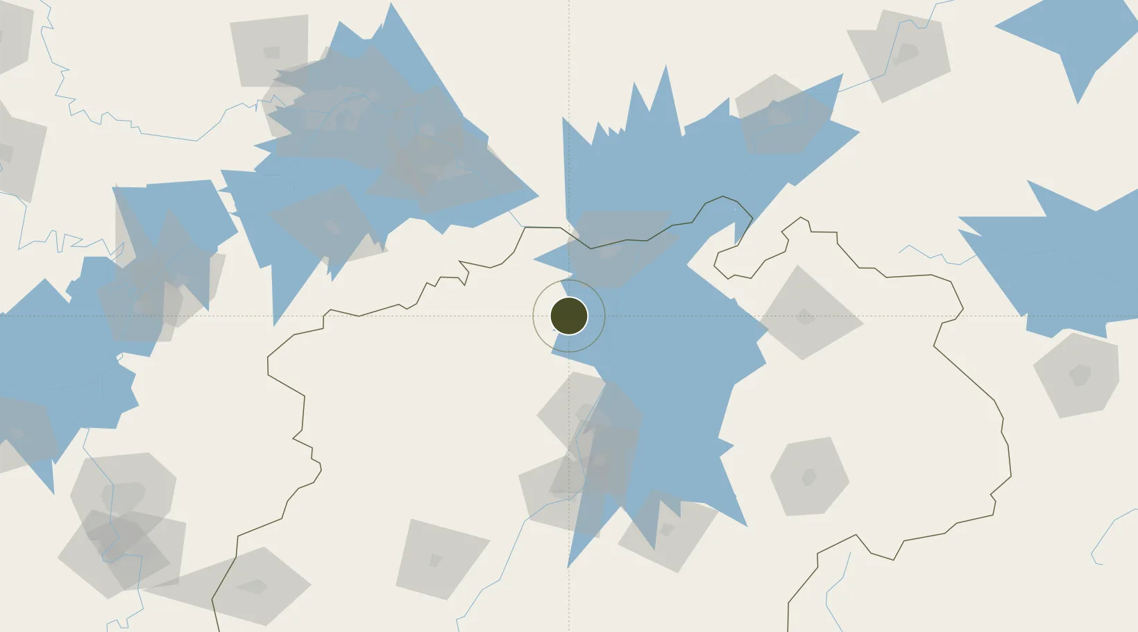
29.3188°, 115.7561°
800 ha
Zone area
199.8 km
Nearest port
18.1 km
Nearest airport

Gateway access

Nearest neighbours — logibook spatial index (haversine) over the source coordinates

Zone profile

Zone type
Diversified Zone
Open Zone Map
Region
Jiangxi
Open Zone Map
Status
Active
Open Zone Map
Management
Public
Open Zone Map
Operator
Management Committee of De'an Industrial Park
Open Zone Map
Legal framework
It was founded in August 2002
Open Zone Map

Location

Location of ozm-618
Natural Earth 10m (public domain) · Jiangxi · ozm-618 · 29.32, 115.76GoogleOSMYandex

Nearby Logistics Neighbours

Ports
  1. 1Hankow200 km
  2. 2Nanjing420 km
  3. 3Zhenjiang477 km
  4. 4Yangzhou480 km
  5. 5Wenzhou499 km
Nearest neighbours — logibook spatial index (haversine) over the source coordinates
Airports
  1. 1Jiujiang Lushan Airport18 km
  2. 2Nanchang Changbei International Airport53 km
  3. 3Nanchang Xiangtang Air Base101 km
  4. 4Ezhou Huahu International Airport133 km
  5. 5Jingdezhen Luojia Airport138 km
Nearest neighbours — logibook spatial index (haversine) over the source coordinates
Cities
  1. 1Jiujiang49 km
  2. 2Huangshi Pt117 km
  3. 3Fuzhou140 km
  4. 4Shipai141 km
  5. 5Jingdezhen142 km
Nearest neighbours — logibook spatial index (haversine) over the source coordinates
Trade Zones
  1. 1Gongqing Economic Devleopment Zone9 km
  2. 2Lushan Industrial Park34 km
  3. 3Shacheng Industrial Park35 km
  4. 4Jiujiang Export Processing Zone36 km
  5. 5Ruichang Industrial Zone42 km
Nearest neighbours — logibook spatial index (haversine) over the source coordinates
DatabookThe Record of Consolidated Knowledge
China beyond logistics?
Browse databook

All Sources

Trade ZonesOpen Zone Map
CC BY
Portsthe NGA World Port Index
Public domain (US gov)
AirportsOurAirports
Public domain
LocationsUN/LOCODE
UN/LOCODE — free
← China trade zones