Export Processing Zone · China

Shacheng Industrial Park Active
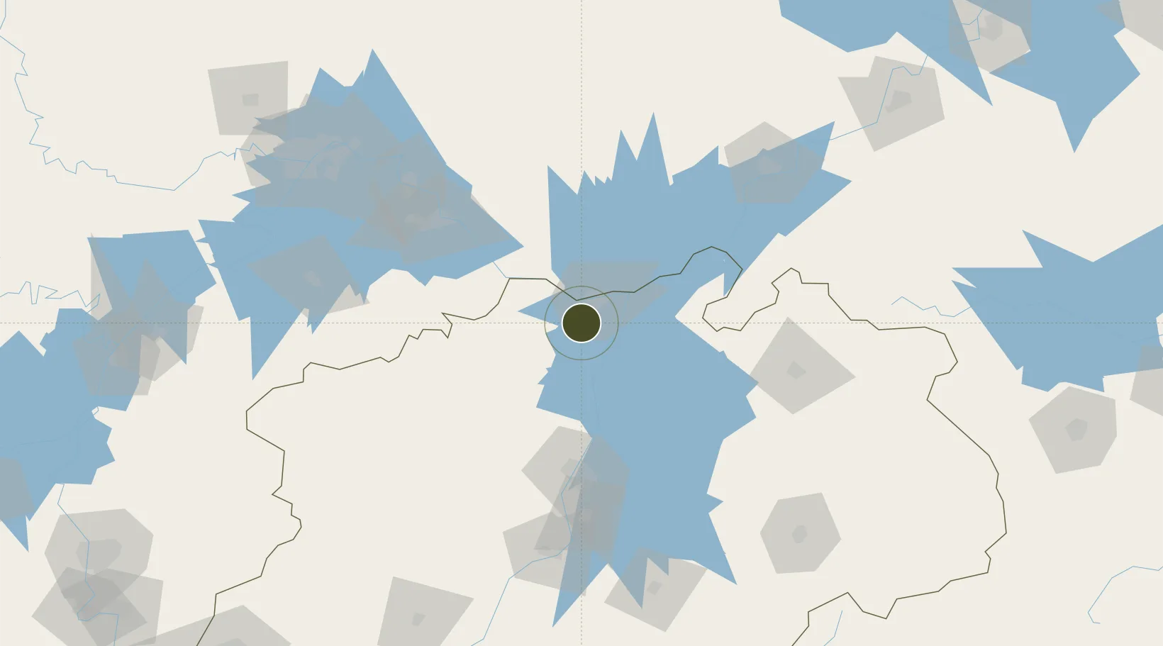
29.5961°, 115.9189°
300 ha
Zone area
191.9 km
Nearest port
17.5 km
Nearest airport

Gateway access

Nearest neighbours — logibook spatial index (haversine) over the source coordinates

Zone profile

Zone type
Export Processing Zone
Open Zone Map
Region
Jiangxi
Open Zone Map
Status
Active
Open Zone Map
Management
Public
Open Zone Map
Operator
Working Committee of Shacheng Industrial Park
Open Zone Map
Legal framework
Pre-approval public notice on the control detailed planning of Shacheng Industrial Park, Chaisang District, Jiujiang City
Open Zone Map

Location

Location of ozm-1090
Natural Earth 10m (public domain) · Jiangxi · ozm-1090 · 29.60, 115.92GoogleOSMYandex

Nearby Logistics Neighbours

Ports
  1. 1Hankow192 km
  2. 2Nanjing387 km
  3. 3Zhenjiang444 km
  4. 4Yangzhou448 km
  5. 5Changzhou469 km
Nearest neighbours — logibook spatial index (haversine) over the source coordinates
Airports
  1. 1Jiujiang Lushan Airport18 km
  2. 2Nanchang Changbei International Airport81 km
  3. 3Ezhou Huahu International Airport119 km
  4. 4Jingdezhen Luojia Airport125 km
  5. 5Nanchang Xiangtang Air Base131 km
Nearest neighbours — logibook spatial index (haversine) over the source coordinates
Cities
  1. 1Jiujiang14 km
  2. 2Huangshi Pt104 km
  3. 3Shipai107 km
  4. 4Jingdezhen130 km
  5. 5Ezhou139 km
Nearest neighbours — logibook spatial index (haversine) over the source coordinates
Trade Zones
  1. 1Jiujiang Export Processing Zone1 km
  2. 2Lushan Industrial Park18 km
  3. 3Ruichang Industrial Zone24 km
  4. 4Dean Industrial Park (Zone)35 km
  5. 5Gongqing Economic Devleopment Zone39 km
Nearest neighbours — logibook spatial index (haversine) over the source coordinates
DatabookThe Record of Consolidated Knowledge
China beyond logistics?
Browse databook

All Sources

Trade ZonesOpen Zone Map
CC BY
Portsthe NGA World Port Index
Public domain (US gov)
AirportsOurAirports
Public domain
LocationsUN/LOCODE
UN/LOCODE — free
← China trade zones