Diversified Zone · China

Lushan Industrial Park Active
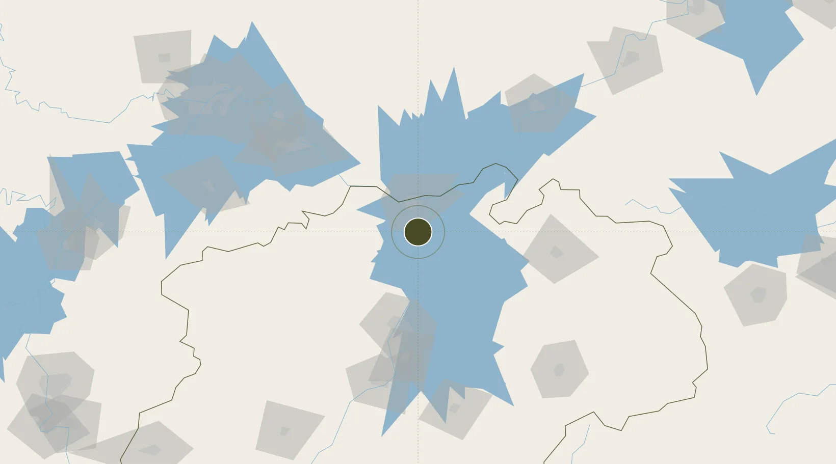
29.4810°, 116.0514°
300 ha
Zone area
209.7 km
Nearest port
24.2 km
Nearest airport

Gateway access

Nearest neighbours — logibook spatial index (haversine) over the source coordinates

Zone profile

Zone type
Diversified Zone
Open Zone Map
Region
Jiangxi
Open Zone Map
Status
Active
Open Zone Map
Management
Public
Open Zone Map
Operator
Management Committee of Lushan Industrial Park
Open Zone Map
Legal framework
It was founded in September 2003
Open Zone Map

Location

Location of ozm-417
Natural Earth 10m (public domain) · Jiangxi · ozm-417 · 29.48, 116.05GoogleOSMYandex

Nearby Logistics Neighbours

Ports
  1. 1Hankow210 km
  2. 2Nanjing388 km
  3. 3Zhenjiang444 km
  4. 4Yangzhou447 km
  5. 5Changzhou467 km
Nearest neighbours — logibook spatial index (haversine) over the source coordinates
Airports
  1. 1Jiujiang Lushan Airport24 km
  2. 2Nanchang Changbei International Airport70 km
  3. 3Jingdezhen Luojia Airport110 km
  4. 4Nanchang Xiangtang Air Base119 km
  5. 5Ezhou Huahu International Airport137 km
Nearest neighbours — logibook spatial index (haversine) over the source coordinates
Cities
  1. 1Jiujiang28 km
  2. 2Shipai109 km
  3. 3Jingdezhen115 km
  4. 4Huangshi Pt122 km
  5. 5Anqing149 km
Nearest neighbours — logibook spatial index (haversine) over the source coordinates
Trade Zones
  1. 1Shacheng Industrial Park18 km
  2. 2Jiujiang Export Processing Zone19 km
  3. 3Dean Industrial Park (Zone)34 km
  4. 4Gongqing Economic Devleopment Zone34 km
  5. 5Duchang Industrial Park35 km
Nearest neighbours — logibook spatial index (haversine) over the source coordinates
DatabookThe Record of Consolidated Knowledge
China beyond logistics?
Browse databook

All Sources

Trade ZonesOpen Zone Map
CC BY
Portsthe NGA World Port Index
Public domain (US gov)
AirportsOurAirports
Public domain
LocationsUN/LOCODE
UN/LOCODE — free
← China trade zones