Export Processing Zone · China

Changyi Economic Development Zone Active
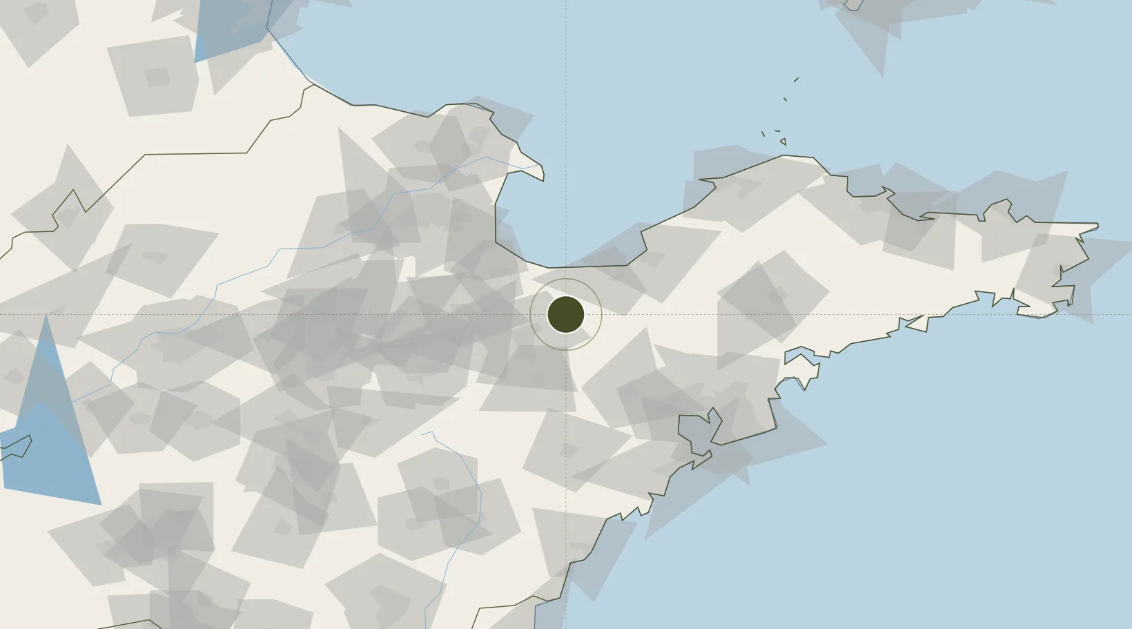
36.8490°, 119.3957°
1,770 ha
Zone area
117.4 km
Nearest port
33.4 km
Nearest airport

Gateway access

Nearest neighbours — logibook spatial index (haversine) over the source coordinates

Zone profile

Zone type
Export Processing Zone
Open Zone Map
Region
Shandong
Open Zone Map
Status
Active
Open Zone Map
Management
Public
Open Zone Map
Operator
Working Committee of Changyi Economic Development Zone
Open Zone Map
Legal framework
Planning of industrial zone of changyi city
Open Zone Map

Location

Location of ozm-1333
Natural Earth 10m (public domain) · Shandong · ozm-1333 · 36.85, 119.40GoogleOSMYandex

Nearby Logistics Neighbours

Ports
  1. 1Longkou Gang117 km
  2. 2Qingdao Gang120 km
  3. 3Rizhao164 km
  4. 4Penglai167 km
  5. 5Lanshan197 km
Nearest neighbours — logibook spatial index (haversine) over the source coordinates
Airports
  1. 1Weifang Nanyuan Airport33 km
  2. 2Jiaozhou Jiaocheng Air Base81 km
  3. 3Qingdao Jiaodong International Airport82 km
  4. 4Dongying Shengli Airport90 km
  5. 5Zhucheng Air Base91 km
Nearest neighbours — logibook spatial index (haversine) over the source coordinates
Cities
  1. 1Weifang47 km
  2. 2Anqiu52 km
  3. 3Shijiu Pt55 km
  4. 4Taipingwan61 km
  5. 5Laizhou Pt61 km
Nearest neighbours — logibook spatial index (haversine) over the source coordinates
Trade Zones
  1. 1Weifang Export Processing Zone21 km
  2. 2Weifang Phoenix Mountain High-tech Industrial Park29 km
  3. 3Changle Economic Development Zone48 km
  4. 4Pingdu Economic Development Zone56 km
  5. 5Gaomi Economic Development Zone63 km
Nearest neighbours — logibook spatial index (haversine) over the source coordinates
DatabookThe Record of Consolidated Knowledge
China beyond logistics?
Browse databook

All Sources

Trade ZonesOpen Zone Map
CC BY
Portsthe NGA World Port Index
Public domain (US gov)
AirportsOurAirports
Public domain
LocationsUN/LOCODE
UN/LOCODE — free
← China trade zones