Diversified Zone · China

Ganzhou Economic Development Zone Active
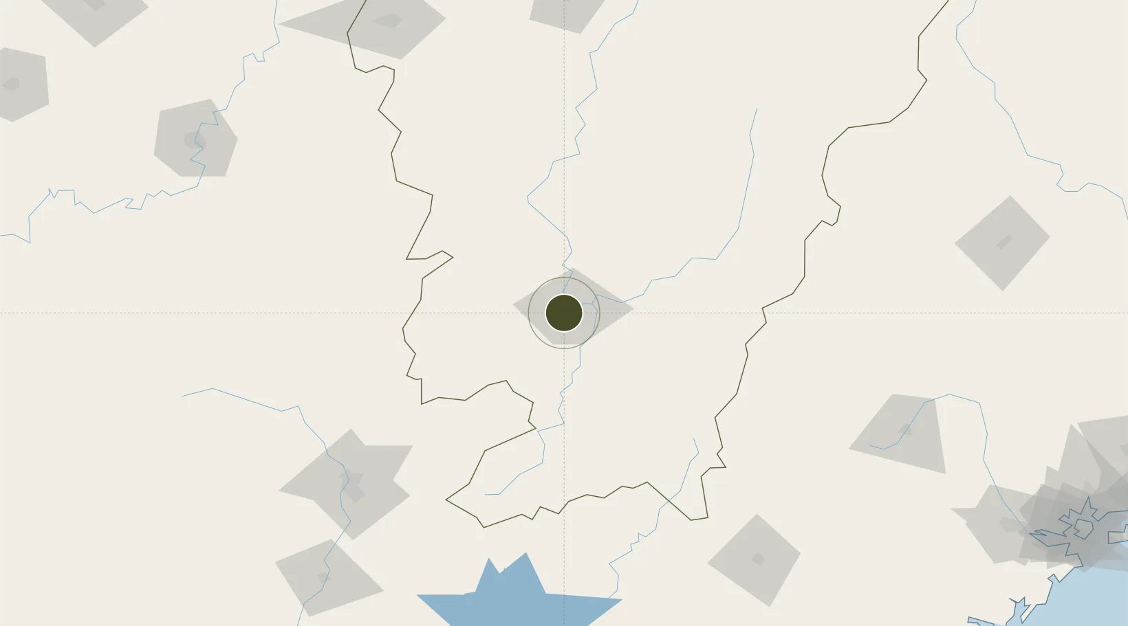
25.8356°, 114.9045°
4,936 ha
Zone area
330.6 km
Nearest port
12.7 km
Nearest airport

Gateway access

Nearest neighbours — logibook spatial index (haversine) over the source coordinates

Zone profile

Zone type
Diversified Zone
Open Zone Map
Region
Jiangxi
Open Zone Map
Status
Active
Open Zone Map
Management
Public
Open Zone Map
Operator
Management Committee of Ganzhou Economic Development Zone
Open Zone Map
Legal framework
It was founded in July 1990
Open Zone Map

Location

Location of ozm-938
Natural Earth 10m (public domain) · Jiangxi · ozm-938 · 25.84, 114.90GoogleOSMYandex

Nearby Logistics Neighbours

Ports
  1. 1Chaozhou331 km
  2. 2Huangpuxingang341 km
  3. 3Huangpu341 km
  4. 4Guangzhou346 km
  5. 5Huizhou349 km
Nearest neighbours — logibook spatial index (haversine) over the source coordinates
Airports
  1. 1Ganzhou Huangjin Airport13 km
  2. 2Xincheng Air Base43 km
  3. 3Jinggangshan Airport115 km
  4. 4Shaoguan Danxia Airport177 km
  5. 5Liancheng Guanzhishan Airport185 km
Nearest neighbours — logibook spatial index (haversine) over the source coordinates
Cities
  1. 1Ganzhou15 km
  2. 2Gaolan76 km
  3. 3Shaoguan New Pt173 km
  4. 4Longhai178 km
  5. 5Xinyu218 km
Nearest neighbours — logibook spatial index (haversine) over the source coordinates
Trade Zones
  1. 1Ganzhou Shahe Industrial Zone8 km
  2. 2Nankang Industrial Zone17 km
  3. 3Shangyou Industrial Park32 km
  4. 4Xinfeng Industrial Park44 km
  5. 5Yudu Industrial Park51 km
Nearest neighbours — logibook spatial index (haversine) over the source coordinates
DatabookThe Record of Consolidated Knowledge
China beyond logistics?
Browse databook

All Sources

Trade ZonesOpen Zone Map
CC BY
Portsthe NGA World Port Index
Public domain (US gov)
AirportsOurAirports
Public domain
LocationsUN/LOCODE
UN/LOCODE — free
← China trade zones