Free Trade Zone · China

Ganzhou Shahe Industrial Zone Active
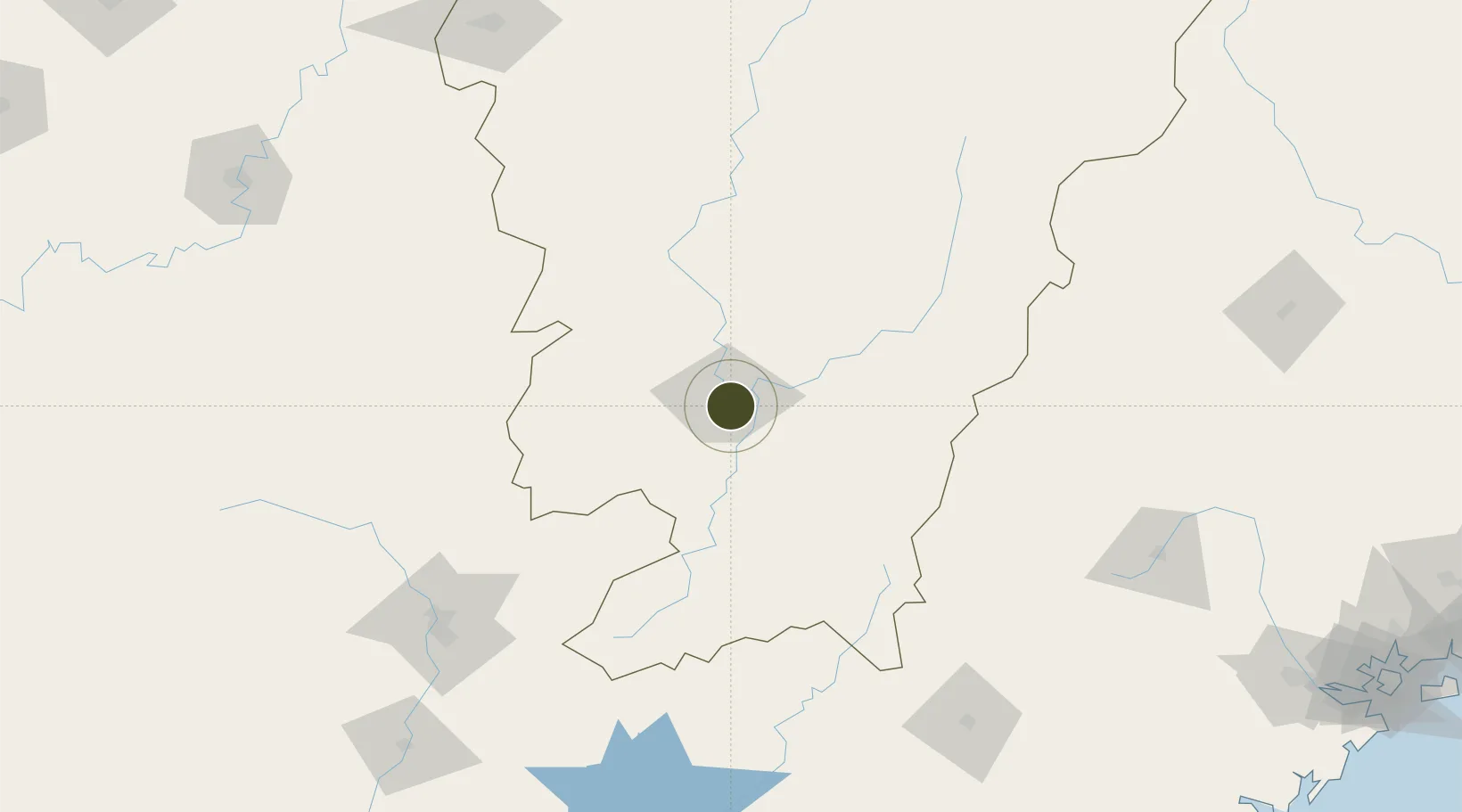
25.8153°, 114.9766°
1,800 ha
Zone area
324.1 km
Nearest port
20.2 km
Nearest airport

Gateway access

Nearest neighbours — logibook spatial index (haversine) over the source coordinates

Zone profile

Zone type
Free Trade Zone
Open Zone Map
Region
Jiangxi
Open Zone Map
Status
Active
Open Zone Map
Management
Public
Open Zone Map
Operator
Ganzhou Shahe Industrial Zone Management Committee
Open Zone Map
Legal framework
Construction began in June 2001
Open Zone Map

Location

Location of ozm-1553
Natural Earth 10m (public domain) · Jiangxi · ozm-1553 · 25.82, 114.98GoogleOSMYandex

Nearby Logistics Neighbours

Ports
  1. 1Chaozhou324 km
  2. 2Huangpuxingang342 km
  3. 3Huangpu342 km
  4. 4Dongshan343 km
  5. 5Zhangzhou343 km
Nearest neighbours — logibook spatial index (haversine) over the source coordinates
Airports
  1. 1Ganzhou Huangjin Airport20 km
  2. 2Xincheng Air Base47 km
  3. 3Jinggangshan Airport118 km
  4. 4Liancheng Guanzhishan Airport178 km
  5. 5Shaoguan Danxia Airport182 km
Nearest neighbours — logibook spatial index (haversine) over the source coordinates
Cities
  1. 1Ganzhou19 km
  2. 2Gaolan68 km
  3. 3Shaoguan New Pt177 km
  4. 4Longhai185 km
  5. 5Changsha215 km
Nearest neighbours — logibook spatial index (haversine) over the source coordinates
Trade Zones
  1. 1Ganzhou Economic Development Zone8 km
  2. 2Nankang Industrial Zone20 km
  3. 3Shangyou Industrial Park39 km
  4. 4Xinfeng Industrial Park42 km
  5. 5Yudu Industrial Park45 km
Nearest neighbours — logibook spatial index (haversine) over the source coordinates
DatabookThe Record of Consolidated Knowledge
China beyond logistics?
Browse databook

All Sources

Trade ZonesOpen Zone Map
CC BY
Portsthe NGA World Port Index
Public domain (US gov)
AirportsOurAirports
Public domain
LocationsUN/LOCODE
UN/LOCODE — free
← China trade zones