Export Processing Zone · China

Shuangpai Industrial Concentration Zone Active
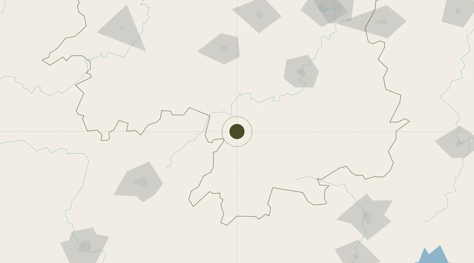
26.0312°, 111.6675°
1,200 ha
Zone area
360.7 km
Nearest port
34.7 km
Nearest airport

Gateway access

Nearest neighbours — logibook spatial index (haversine) over the source coordinates

Zone profile

Zone type
Export Processing Zone
Open Zone Map
Region
Hunan
Open Zone Map
Status
Active
Open Zone Map
Management
Public
Open Zone Map
Operator
Working Committee of Shuangpai Industrial Concentration Zone
Open Zone Map
Legal framework
"China Development Zone Review Announcement Catalogue
Open Zone Map

Location

Location of ozm-1280
Natural Earth 10m (public domain) · Hunan · ozm-1280 · 26.03, 111.67GoogleOSMYandex

Nearby Logistics Neighbours

Ports
  1. 1Guangzhou361 km
  2. 2Huangpu373 km
  3. 3Huangpuxingang380 km
  4. 4Shekou455 km
  5. 5Zhuhai465 km
Nearest neighbours — logibook spatial index (haversine) over the source coordinates
Airports
  1. 1Yongzhou Lingling Airport35 km
  2. 2Chenzhou Beihu Airport122 km
  3. 3Hengyang Nanyue Airport122 km
  4. 4Shaodong Airport133 km
  5. 5Shaoyang Wugang Airport134 km
Nearest neighbours — logibook spatial index (haversine) over the source coordinates
Cities
  1. 1Hengyang134 km
  2. 2Lianzhou156 km
  3. 3Guilin163 km
  4. 4Longhai167 km
  5. 5Zhongshan172 km
Nearest neighbours — logibook spatial index (haversine) over the source coordinates
Trade Zones
  1. 1Lingling Industrial Park25 km
  2. 2Yongzhou Economic and Technological Development Zone42 km
  3. 3Phoenix Economic Development Zone50 km
  4. 4Daoxian Industrial Concentration Zone52 km
  5. 5Dongan Economic Development Zone54 km
Nearest neighbours — logibook spatial index (haversine) over the source coordinates
DatabookThe Record of Consolidated Knowledge
China beyond logistics?
Browse databook

All Sources

Trade ZonesOpen Zone Map
CC BY
Portsthe NGA World Port Index
Public domain (US gov)
AirportsOurAirports
Public domain
LocationsUN/LOCODE
UN/LOCODE — free
← China trade zones