Diversified Zone · China
Lingling Industrial Park Active
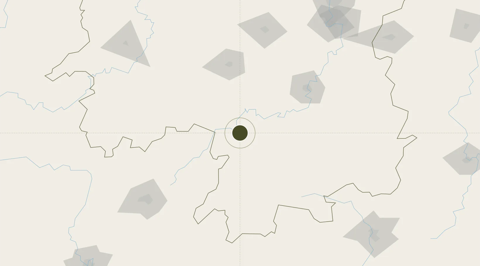
26.2518°, 111.6337°
580 ha
Zone area
384.2 km
Nearest port
9.9 km
Nearest airport
Gateway access
Zone profile
Zone type
Diversified Zone
Region
Hunan
Status
Active
Management
Public
Operator
Management Committee of Lingling Industrial Park
Legal framework
Regulations on Taxation Policies of National High-Tech Industrial Development Zones Approved by State Council of the People's Republic of China Mar 6, 1991; Administrative Measures for the Recognition of High-tech Enterprises; Ministry of Science and Tech
Location
Nearby Logistics Neighbours
Ports
- 1Guangzhou384 km
- 2Huangpu396 km
- 3Huangpuxingang403 km
- 4Shekou478 km
- 5Yantian487 km
Airports
- 1Yongzhou Lingling Airport10 km
- 2Shaodong Airport108 km
- 3Hengyang Nanyue Airport111 km
- 4Shaoyang Wugang Airport116 km
- 5Leiyang Air Base131 km
DatabookThe Record of Consolidated Knowledge
China beyond logistics?