Export Processing Zone · China

Daoxian Industrial Concentration Zone Active
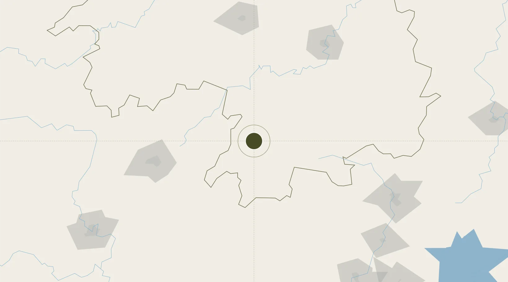
25.5612°, 111.6398°
1,000 ha
Zone area
316.1 km
Nearest port
86.5 km
Nearest airport

Gateway access

Nearest neighbours — logibook spatial index (haversine) over the source coordinates

Zone profile

Zone type
Export Processing Zone
Open Zone Map
Region
Hunan
Open Zone Map
Status
Active
Open Zone Map
Management
Public
Open Zone Map
Operator
Daoxian Industrial Concentration Zone Management Committee
Open Zone Map
Legal framework
Dao County industry concentration area was established in 2003
Open Zone Map

Location

Location of ozm-1249
Natural Earth 10m (public domain) · Hunan · ozm-1249 · 25.56, 111.64GoogleOSMYandex

Nearby Logistics Neighbours

Ports
  1. 1Guangzhou316 km
  2. 2Huangpu329 km
  3. 3Huangpuxingang337 km
  4. 4Shekou412 km
  5. 5Zhuhai420 km
Nearest neighbours — logibook spatial index (haversine) over the source coordinates
Airports
  1. 1Yongzhou Lingling Airport87 km
  2. 2Chenzhou Beihu Airport123 km
  3. 3Hengyang Nanyue Airport162 km
  4. 4Guilin Liangjiang International Airport165 km
  5. 5Leiyang Air Base169 km
Nearest neighbours — logibook spatial index (haversine) over the source coordinates
Cities
  1. 1Lianzhou114 km
  2. 2Zhongshan121 km
  3. 3Guilin140 km
  4. 4Hengyang176 km
  5. 5Yongfu179 km
Nearest neighbours — logibook spatial index (haversine) over the source coordinates
Trade Zones
  1. 1Ningyuan Industrial Park31 km
  2. 2Jianghua Economic Development Zone41 km
  3. 3Jiangyong Industrial Concentration Zone43 km
  4. 4Shuangpai Industrial Concentration Zone52 km
  5. 5Xintian Industrial Concentration Zone68 km
Nearest neighbours — logibook spatial index (haversine) over the source coordinates
DatabookThe Record of Consolidated Knowledge
China beyond logistics?
Browse databook

All Sources

Trade ZonesOpen Zone Map
CC BY
Portsthe NGA World Port Index
Public domain (US gov)
AirportsOurAirports
Public domain
LocationsUN/LOCODE
UN/LOCODE — free
← China trade zones