Export Processing Zone · China

Dongan Economic Development Zone Active
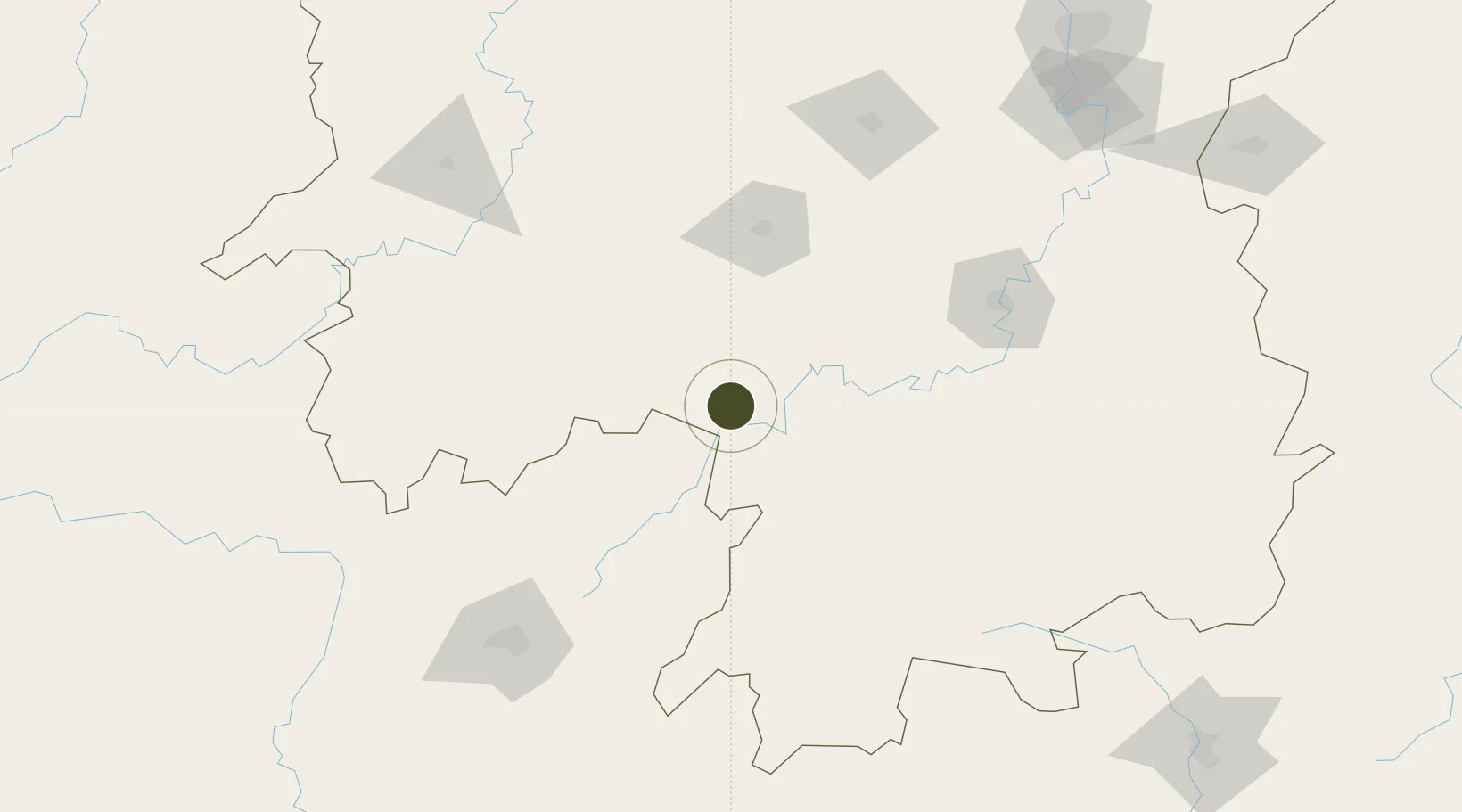
26.4055°, 111.3255°
630 ha
Zone area
413.3 km
Nearest port
29.3 km
Nearest airport

Gateway access

Nearest neighbours — logibook spatial index (haversine) over the source coordinates

Zone profile

Zone type
Export Processing Zone
Open Zone Map
Region
Hunan
Open Zone Map
Status
Active
Open Zone Map
Management
Public
Open Zone Map
Operator
Management Commitiee
Open Zone Map
Legal framework
The development zone was established on the approval of the people's government of hunan province in May 1996
Open Zone Map

Location

Location of ozm-1190
Natural Earth 10m (public domain) · Hunan · ozm-1190 · 26.41, 111.33GoogleOSMYandex

Nearby Logistics Neighbours

Ports
  1. 1Guangzhou413 km
  2. 2Huangpu426 km
  3. 3Huangpuxingang433 km
  4. 4Shekou508 km
  5. 5Zhuhai517 km
Nearest neighbours — logibook spatial index (haversine) over the source coordinates
Airports
  1. 1Yongzhou Lingling Airport29 km
  2. 2Shaoyang Wugang Airport81 km
  3. 3Shaodong Airport97 km
  4. 4Hengyang Nanyue Airport133 km
  5. 5Leiyang Air Base157 km
Nearest neighbours — logibook spatial index (haversine) over the source coordinates
Cities
  1. 1Hengyang139 km
  2. 2Guilin164 km
  3. 3Kaiyun179 km
  4. 4Huaihua183 km
  5. 5Longhai193 km
Nearest neighbours — logibook spatial index (haversine) over the source coordinates
DatabookThe Record of Consolidated Knowledge
China beyond logistics?
Browse databook

All Sources

Trade ZonesOpen Zone Map
CC BY
Portsthe NGA World Port Index
Public domain (US gov)
AirportsOurAirports
Public domain
LocationsUN/LOCODE
UN/LOCODE — free
← China trade zones