Transport Functions
Port
Rail
Road
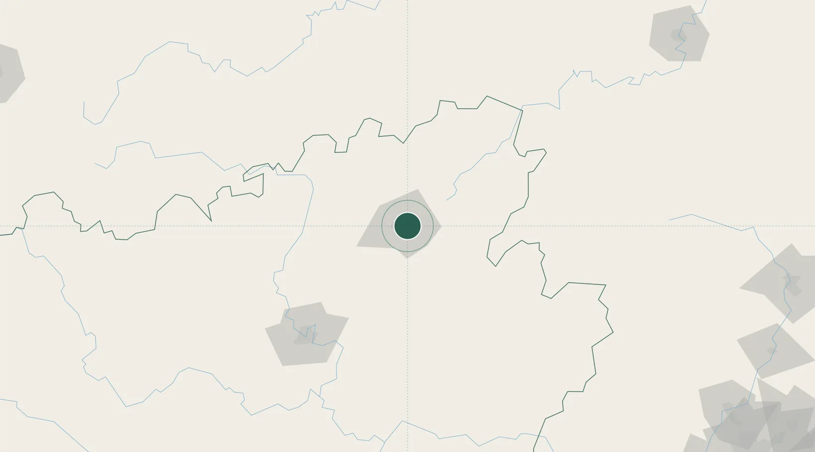
Hub Profile
Place type
Provincial seat
Region
Guangxi
Population
1,572,300
Time zone
Asia/Shanghai
Elevation
141 m
Location
Nearby Logistics Neighbours
Ports
- 1Guangzhou383 km
- 2Huangpu400 km
- 3Huangpuxingang409 km
- 4Shui Dong429 km
- 5Qinzhou429 km
Airports
DatabookThe Record of Consolidated Knowledge
China beyond logistics?