Small airport · China

Hengyang Nanyue AirportZGHY
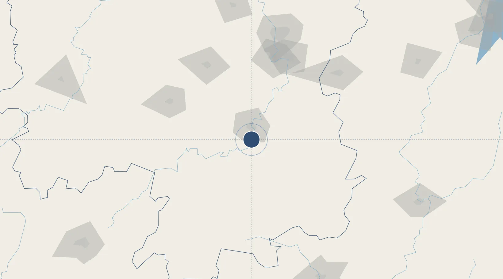
26.7221°, 112.6180°
8,530 ft
Longest runway
1
Runways

Runway & Layout

Hengyang Nanyue Airport runway & taxiway layout
Runway & taxiway layout — OpenStreetMap (ODbL) / OurAirports

Runways · 1

RunwayDimensions SurfaceTrue headingLit
04/22 8,530 × —ft
OurAirports

Airport Specifications

IATA code
HNY
OurAirports
ICAO code
ZGHY
OurAirports
Airport class
Small airport
OurAirports
Scheduled service
Yes
OurAirports
Served city
Hengyang
OurAirports

Location

Location of ZGHY
Natural Earth 10m (public domain) · Hunan · ZGHY · 26.72, 112.62GoogleOSMYandex

Nearby Logistics Neighbours

Airports
  1. 1Leiyang Air Base31 km
  2. 2Shaodong Airport109 km
  3. 3Yongzhou Lingling Airport109 km
  4. 4Chenzhou Beihu Airport110 km
  5. 5Ningxiang Airport141 km
Nearest neighbours — logibook spatial index (haversine) over the source coordinates
Cities
  1. 1Hengyang18 km
  2. 2Kaiyun62 km
  3. 3Longhai71 km
  4. 4Xiangtan129 km
  5. 5Shaoshan132 km
Nearest neighbours — logibook spatial index (haversine) over the source coordinates
Ports
  1. 1Guangzhou406 km
  2. 2Huangpu413 km
  3. 3Huangpuxingang418 km
  4. 4Hankow459 km
  5. 5Huizhou485 km
Nearest neighbours — logibook spatial index (haversine) over the source coordinates
Trade Zones
  1. 1Hengnan Industrial Concentration Zone7 km
  2. 2Hengyang Songmu Economic Development Zone28 km
  3. 3Hengdong Economic Development Zone37 km
  4. 4Leiyang Economic Development Zone42 km
  5. 5Anren Industrial Concentration Zone64 km
Nearest neighbours — logibook spatial index (haversine) over the source coordinates
DatabookThe Record of Consolidated Knowledge
China beyond logistics?
Browse databook

All Sources

AirportsOurAirports
Public domain
Portsthe NGA World Port Index
Public domain (US gov)
LocationsUN/LOCODE
UN/LOCODE — free
Trade Zonesthe World Bank SEZ database
CC BY 4.0
Trade ZonesOpen Zone Map
CC BY
InfrastructureOpenStreetMap
ODbL 1.0
← China airports