Transport Functions
Rail
Road
Airport
Multimodal
Hub Profile
Place type
Populated place
Region
Hunan
Population
1,075,516
Time zone
Asia/Shanghai
Elevation
66 m
Logistics facilities
1
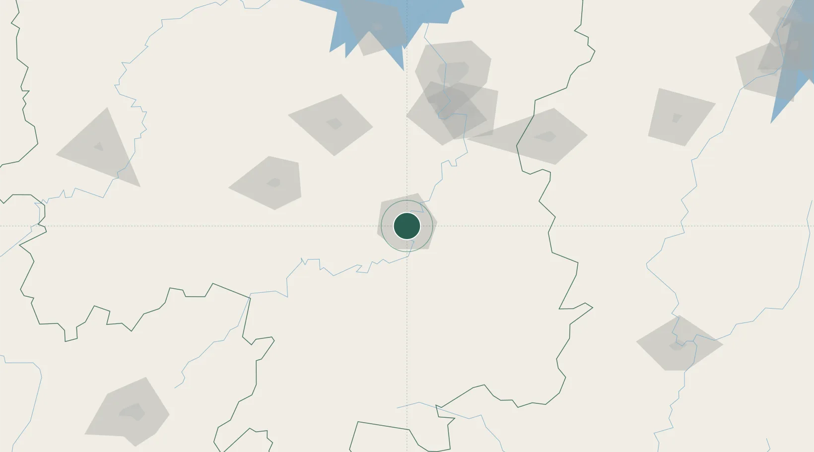
Location
Nearby Logistics Neighbours
Ports
- 1Guangzhou423 km
- 2Huangpu430 km
- 3Huangpuxingang435 km
- 4Hankow442 km
- 5Huizhou501 km
Airports
- 1Hengyang Nanyue Airport18 km
- 2Leiyang Air Base43 km
- 3Shaodong Airport101 km
- 4Yongzhou Lingling Airport117 km
- 5Ningxiang Airport123 km
DatabookThe Record of Consolidated Knowledge
China beyond logistics?