Transport Functions
Port
Road
Hub Profile
Place type
District seat
Region
Guangdong
Population
92,827
Time zone
Asia/Shanghai
Elevation
99 m
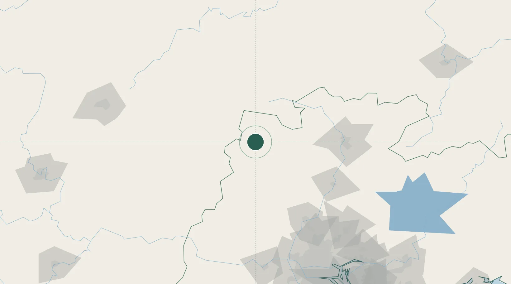
Location
Nearby Logistics Neighbours
Cities
- 1Xiniu104 km
- 2Changan108 km
- 3Zhongshan110 km
- 4Shaoguan New Pt128 km
- 5Qingyuan137 km
Ports
- 1Guangzhou204 km
- 2Huangpu216 km
- 3Huangpuxingang224 km
- 4Shekou299 km
- 5Zhuhai309 km
Airports
- 1Shaoguan Danxia Airport111 km
- 2Chenzhou Beihu Airport121 km
- 3Guangzhou Baiyun International Airport181 km
- 4Yongzhou Lingling Airport190 km
- 5Wuzhou Xijiang Airport198 km
DatabookThe Record of Consolidated Knowledge
China beyond logistics?