Transport Functions
Road
Multimodal
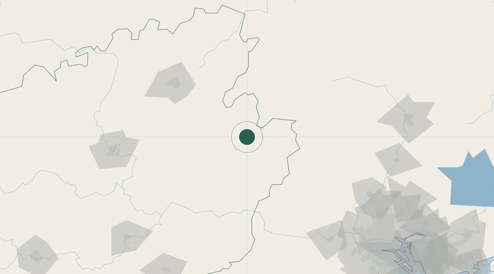
Hub Profile
Place type
District seat
Region
Guangxi
Time zone
Asia/Shanghai
Elevation
145 m
Logistics facilities
1
Location
Nearby Logistics Neighbours
Ports
- 1Guangzhou251 km
- 2Huangpu268 km
- 3Huangpuxingang277 km
- 4Shui Dong338 km
- 5Zhuhai345 km
Airports
DatabookThe Record of Consolidated Knowledge
China beyond logistics?