Export Processing Zone · China

Wuwei Economic Development Zone Active
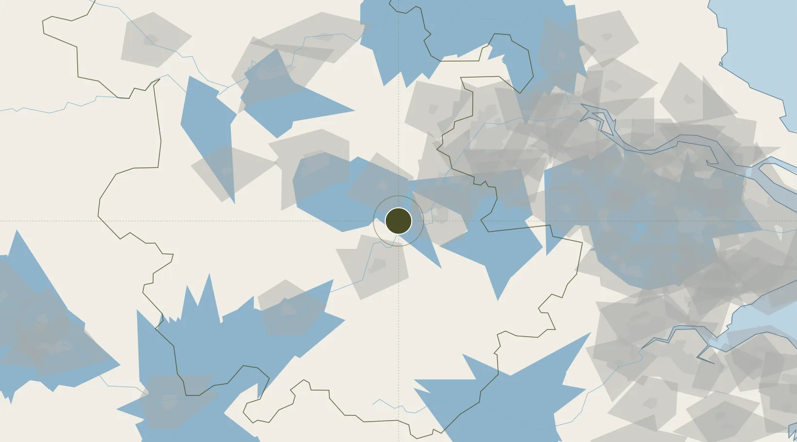
31.3233°, 118.0142°
1,000 ha
Zone area
109.5 km
Nearest port
66.7 km
Nearest airport

Gateway access

Nearest neighbours — logibook spatial index (haversine) over the source coordinates

Zone profile

Zone type
Export Processing Zone
Open Zone Map
Region
Anhui
Open Zone Map
Status
Active
Open Zone Map
Management
Public
Open Zone Map
Operator
Working Committee of Wuwei Economic Development Zone
Open Zone Map
Legal framework
The government procurement law of the People's Republic of China, the measures for the administration of the government procurement not tender method (finance ministry make no. 74), "about the printing < wuhu interim measures for the way of public bidding
Open Zone Map

Location

Location of ozm-1261
Natural Earth 10m (public domain) · Anhui · ozm-1261 · 31.32, 118.01GoogleOSMYandex

Nearby Logistics Neighbours

Ports
  1. 1Nanjing110 km
  2. 2Zhenjiang167 km
  3. 3Yangzhou170 km
  4. 4Changzhou200 km
  5. 5Gaogang204 km
Nearest neighbours — logibook spatial index (haversine) over the source coordinates
Airports
  1. 1Wuhu Xuanzhou Airport67 km
  2. 2Chizhou Jiuhuashan Airport72 km
  3. 3Feidong Air Base73 km
  4. 4Nanjing Lukou International Airport93 km
  5. 5Hefei Xinqiao International Airport123 km
Nearest neighbours — logibook spatial index (haversine) over the source coordinates
Cities
  1. 1Wuhu33 km
  2. 2Chaohu35 km
  3. 3Tongling48 km
  4. 4zhengpugang Pt49 km
  5. 5Ma'anshan61 km
Nearest neighbours — logibook spatial index (haversine) over the source coordinates
DatabookThe Record of Consolidated Knowledge
China beyond logistics?
Browse databook

All Sources

Trade ZonesOpen Zone Map
CC BY
Portsthe NGA World Port Index
Public domain (US gov)
AirportsOurAirports
Public domain
LocationsUN/LOCODE
UN/LOCODE — free
← China trade zones