Diversified Zone · China

Chaohu Economic Development Zone of Hefei Active
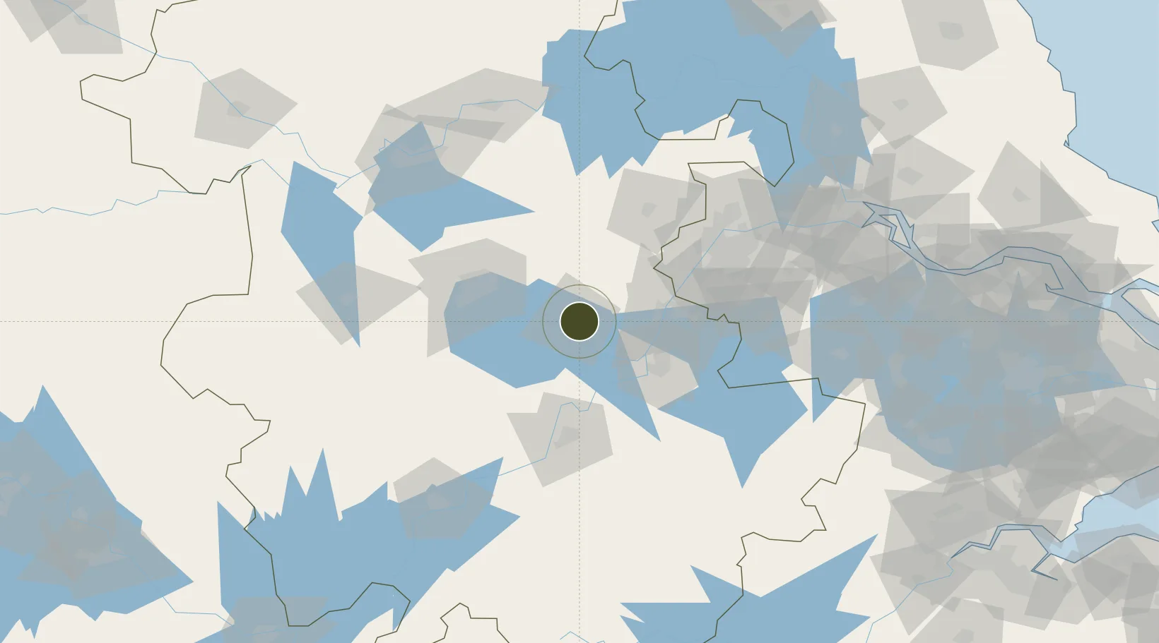
31.6306°, 117.9025°
6,100 ha
Zone area
94.6 km
Nearest port
38.6 km
Nearest airport

Gateway access

Nearest neighbours — logibook spatial index (haversine) over the source coordinates

Zone profile

Zone type
Diversified Zone
Open Zone Map
Region
Anhui
Open Zone Map
Status
Active
Open Zone Map
Management
Public
Open Zone Map
Operator
Chaohu Economic Development Zone Management Committee of Anhui province
Open Zone Map
Legal framework
Anhui Chaohu Economic Development Zone (formerly Chaohu Economic Development Zone in Hefei) was established in August 1992 and approved by anhui Provincial government as a provincial-level development zone in August 1995. It covers an area of 58 square ki
Open Zone Map

Location

Location of ozm-959
Natural Earth 10m (public domain) · Anhui · ozm-959 · 31.63, 117.90GoogleOSMYandex

Nearby Logistics Neighbours

Ports
  1. 1Nanjing95 km
  2. 2Zhenjiang159 km
  3. 3Yangzhou161 km
  4. 4Gaogang198 km
  5. 5Changzhou200 km
Nearest neighbours — logibook spatial index (haversine) over the source coordinates
Airports
  1. 1Feidong Air Base39 km
  2. 2Nanjing Lukou International Airport92 km
  3. 3Wuhu Xuanzhou Airport93 km
  4. 4Hefei Xinqiao International Airport96 km
  5. 5Chizhou Jiuhuashan Airport101 km
Nearest neighbours — logibook spatial index (haversine) over the source coordinates
Cities
  1. 1Chaohu6 km
  2. 2zhengpugang Pt46 km
  3. 3Quanjiao47 km
  4. 4Wuhu50 km
  5. 5Ma'anshan54 km
Nearest neighbours — logibook spatial index (haversine) over the source coordinates
DatabookThe Record of Consolidated Knowledge
China beyond logistics?
Browse databook

All Sources

Trade ZonesOpen Zone Map
CC BY
Portsthe NGA World Port Index
Public domain (US gov)
AirportsOurAirports
Public domain
LocationsUN/LOCODE
UN/LOCODE — free
← China trade zones