UN/LOCODE hub · China
CNTOL

Tongling

30.9333°, 117.8000°
402,062
Population
3
Transport functions

Transport Functions

Port
Rail
Road
UN/LOCODE

Hub Profile

Place type
District seat
GeoNames
Region
Anhui
GeoNames
Population
402,062
GeoNames
Time zone
Asia/Shanghai
GeoNames
Elevation
7 m
GeoNames
Logistics facilities
2
UN/LOCODE

Location

Location of CNTOL
Natural Earth 10m (public domain) · Anhui · CNTOL · 30.93, 117.80GoogleOSMYandex

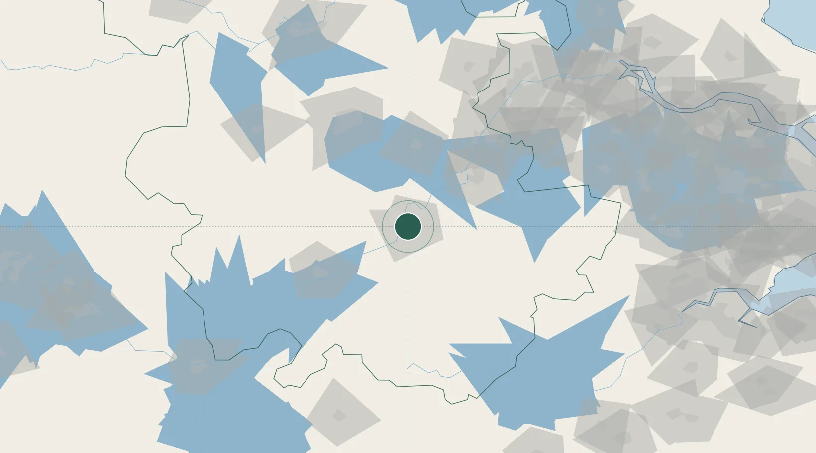
Nearby Logistics Neighbours

Cities
  1. 1Xuancheng72 km
  2. 2Wuhu73 km
  3. 3Chaohu74 km
  4. 4Anqing86 km
  5. 5zhengpugang Pt96 km
Nearest neighbours — logibook spatial index (haversine) over the source coordinates
Ports
  1. 1Nanjing156 km
  2. 2Zhenjiang211 km
  3. 3Yangzhou214 km
  4. 4Changzhou237 km
  5. 5Gaogang245 km
Nearest neighbours — logibook spatial index (haversine) over the source coordinates
Airports
  1. 1Chizhou Jiuhuashan Airport24 km
  2. 2Anqing Tianzhushan Airport / Anqing North Air Base82 km
  3. 3Wuhu Xuanzhou Airport85 km
  4. 4Feidong Air Base109 km
  5. 5Nanjing Lukou International Airport135 km
Nearest neighbours — logibook spatial index (haversine) over the source coordinates
DatabookThe Record of Consolidated Knowledge
China beyond logistics?
Browse databook

All Sources

LocationsUN/LOCODE
UN/LOCODE — free
LocationsGeoNames
CC BY 4.0
Portsthe NGA World Port Index
Public domain (US gov)
AirportsOurAirports
Public domain
Trade Zonesthe World Bank SEZ database
CC BY 4.0
Trade ZonesOpen Zone Map
CC BY
← China locations