Export Processing Zone · China

Comprehensive Economic Development Zone of Wuhu Yangtze River Bridge Active
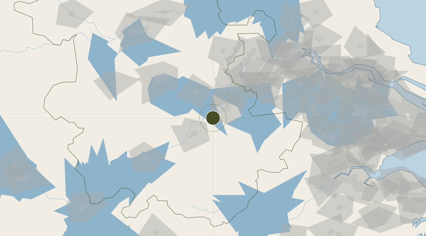
31.1998°, 118.1572°
439 ha
Zone area
113.1 km
Nearest port
49.6 km
Nearest airport

Gateway access

Nearest neighbours — logibook spatial index (haversine) over the source coordinates

Zone profile

Zone type
Export Processing Zone
Open Zone Map
Region
Anhui
Open Zone Map
Status
Active
Open Zone Map
Management
Public
Open Zone Map
Operator
Working Committee of Comprehensive Economic Development Zone of Wuhu Yangtze River Bridge
Open Zone Map
Legal framework
Wuhu Yangtze River Bridge Comprehensive Economic Development Zone New Area Master Plan (2012 ~ 2030
Open Zone Map

Location

Location of ozm-1145
Natural Earth 10m (public domain) · Anhui · ozm-1145 · 31.20, 118.16GoogleOSMYandex

Nearby Logistics Neighbours

Ports
  1. 1Nanjing113 km
  2. 2Zhenjiang165 km
  3. 3Yangzhou169 km
  4. 4Changzhou193 km
  5. 5Gaogang200 km
Nearest neighbours — logibook spatial index (haversine) over the source coordinates
Airports
  1. 1Wuhu Xuanzhou Airport50 km
  2. 2Chizhou Jiuhuashan Airport68 km
  3. 3Nanjing Lukou International Airport90 km
  4. 4Feidong Air Base92 km
  5. 5Anqing Tianzhushan Airport / Anqing North Air Base126 km
Nearest neighbours — logibook spatial index (haversine) over the source coordinates
Cities
  1. 1Wuhu28 km
  2. 2Tongling45 km
  3. 3Xuancheng51 km
  4. 4zhengpugang Pt53 km
  5. 5Chaohu53 km
Nearest neighbours — logibook spatial index (haversine) over the source coordinates
DatabookThe Record of Consolidated Knowledge
China beyond logistics?
Browse databook

All Sources

Trade ZonesOpen Zone Map
CC BY
Portsthe NGA World Port Index
Public domain (US gov)
AirportsOurAirports
Public domain
LocationsUN/LOCODE
UN/LOCODE — free
← China trade zones