Diversified Zone · China
Jingtai Industrial Concentration Zone Active
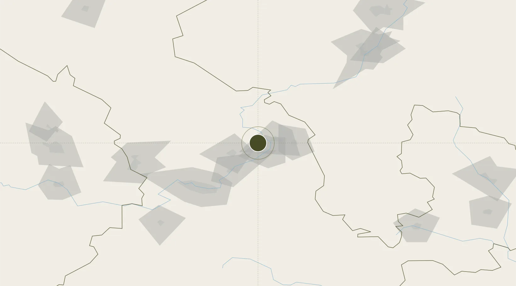
36.6865°, 104.5455°
234 ha
Zone area
1,127.3 km
Nearest port
84.8 km
Nearest airport
Gateway access
Zone profile
Zone type
Diversified Zone
Region
Gansu
Status
Active
Management
Public
Operator
Jingtai Industrial Concentration Zone Management Committee
Legal framework
Regulations on Taxation Policies of National High-Tech Industrial Development Zones Approved by State Council of the People's Republic of China Mar 6, 1991; Administrative Measures for the Recognition of High-tech Enterprises; Ministry of Science and Tech
Location
Nearby Logistics Neighbours
Ports
- 1Hankow1127 km
- 2Tianjin Xin Gang1193 km
- 3Tangshan (Jingtang)1298 km
- 4Lanshan1346 km
- 5Rizhao1357 km
Airports
- 1Lanzhou Zhongchuan International Airport85 km
- 2Lanzhou Air Base90 km
- 3Zhongwei Shapotou Airport112 km
- 4Guyuan Liupanshan Airport164 km
- 5Lintao Air Base166 km
DatabookThe Record of Consolidated Knowledge
China beyond logistics?