Export Processing Zone · China

Gaolan Sanchuankou Industrial Park Active
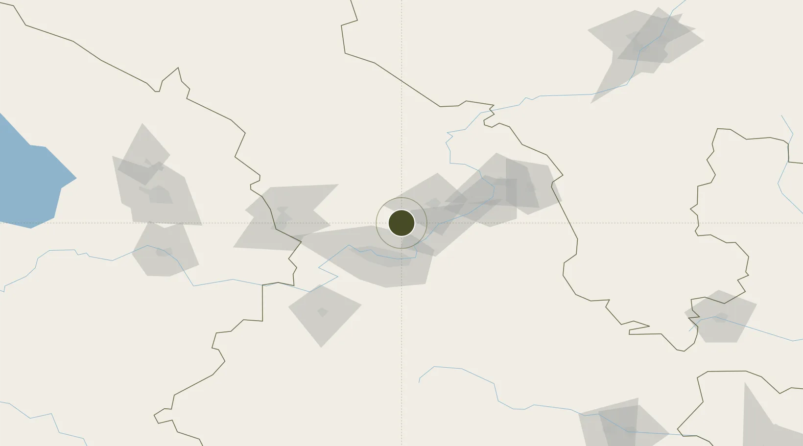
36.3794°, 103.9134°
309 ha
Zone area
1,156.6 km
Nearest port
30.3 km
Nearest airport

Gateway access

Nearest neighbours — logibook spatial index (haversine) over the source coordinates

Zone profile

Zone type
Export Processing Zone
Open Zone Map
Region
Gansu
Open Zone Map
Status
Active
Open Zone Map
Management
Public
Open Zone Map
Operator
Management Committee of Lanzhou Gaolan Sanchuankou Industrial Park
Open Zone Map
Legal framework
"Agreement on Joint Construction of Sanchuankou Industrial Park in Lanzhou National High-tech Industrial Development Zone"
Open Zone Map

Location

Location of ozm-1095
Natural Earth 10m (public domain) · Gansu · ozm-1095 · 36.38, 103.91GoogleOSMYandex

Nearby Logistics Neighbours

Ports
  1. 1Hankow1157 km
  2. 2Tianjin Xin Gang1257 km
  3. 3Guangzhou1725 km
  4. 4Huangpu1738 km
  5. 5Huangpuxingang1745 km
Nearest neighbours — logibook spatial index (haversine) over the source coordinates
Airports
  1. 1Lanzhou Zhongchuan International Airport30 km
  2. 2Lanzhou Air Base58 km
  3. 3Lintao Air Base119 km
  4. 4Xining Caojiabao International Airport168 km
  5. 5Zhongwei Shapotou Airport173 km
Nearest neighbours — logibook spatial index (haversine) over the source coordinates
Cities
  1. 1Gaolan7 km
  2. 2Bayin32 km
  3. 3Lanzhou35 km
  4. 4Dingxi110 km
  5. 5Qiaotou207 km
Nearest neighbours — logibook spatial index (haversine) over the source coordinates
DatabookThe Record of Consolidated Knowledge
China beyond logistics?
Browse databook

All Sources

Trade ZonesOpen Zone Map
CC BY
Portsthe NGA World Port Index
Public domain (US gov)
AirportsOurAirports
Public domain
LocationsUN/LOCODE
UN/LOCODE — free
← China trade zones