Diversified Zone · China

Xintian Industrial Concentration Zone Active
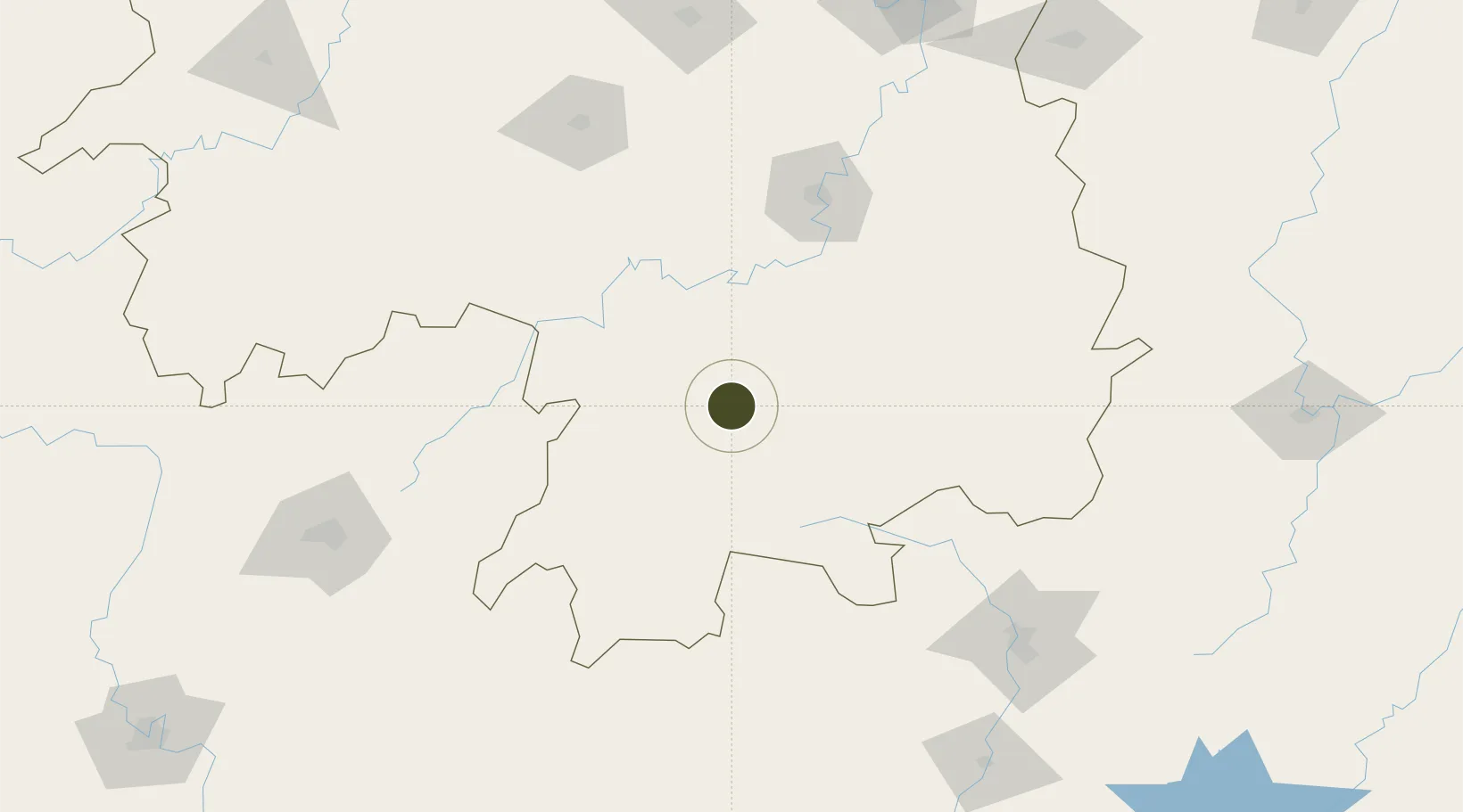
25.8974°, 112.2014°
1,000 ha
Zone area
326.4 km
Nearest port
66.4 km
Nearest airport

Gateway access

Nearest neighbours — logibook spatial index (haversine) over the source coordinates

Zone profile

Zone type
Diversified Zone
Open Zone Map
Region
Hunan
Open Zone Map
Status
Active
Open Zone Map
Management
Public
Open Zone Map
Operator
Management Commitiee
Open Zone Map
Legal framework
Founded in 1992, it was incorporated into the central and western regions of China in 2008 as a key receiving place for processing trade gradient transfer
Open Zone Map

Location

Location of ozm-671
Natural Earth 10m (public domain) · Hunan · ozm-671 · 25.90, 112.20GoogleOSMYandex

Nearby Logistics Neighbours

Ports
  1. 1Guangzhou326 km
  2. 2Huangpu336 km
  3. 3Huangpuxingang343 km
  4. 4Shekou417 km
  5. 5Yantian424 km
Nearest neighbours — logibook spatial index (haversine) over the source coordinates
Airports
  1. 1Chenzhou Beihu Airport66 km
  2. 2Yongzhou Lingling Airport77 km
  3. 3Hengyang Nanyue Airport101 km
  4. 4Leiyang Air Base103 km
  5. 5Shaodong Airport157 km
Nearest neighbours — logibook spatial index (haversine) over the source coordinates
Cities
  1. 1Hengyang117 km
  2. 2Longhai124 km
  3. 3Lianzhou127 km
  4. 4Kaiyun163 km
  5. 5Zhongshan178 km
Nearest neighbours — logibook spatial index (haversine) over the source coordinates
Trade Zones
  1. 1Jiahe Economic Development Zone34 km
  2. 2Ningyuan Industrial Park44 km
  3. 3Shuangpai Industrial Concentration Zone55 km
  4. 4Guanyang County Industrial Concentration Zone58 km
  5. 5Daoxian Industrial Concentration Zone68 km
Nearest neighbours — logibook spatial index (haversine) over the source coordinates
DatabookThe Record of Consolidated Knowledge
China beyond logistics?
Browse databook

All Sources

Trade ZonesOpen Zone Map
CC BY
Portsthe NGA World Port Index
Public domain (US gov)
AirportsOurAirports
Public domain
LocationsUN/LOCODE
UN/LOCODE — free
← China trade zones