Free Trade Zone · China

Jianghua Economic Development Zone Active
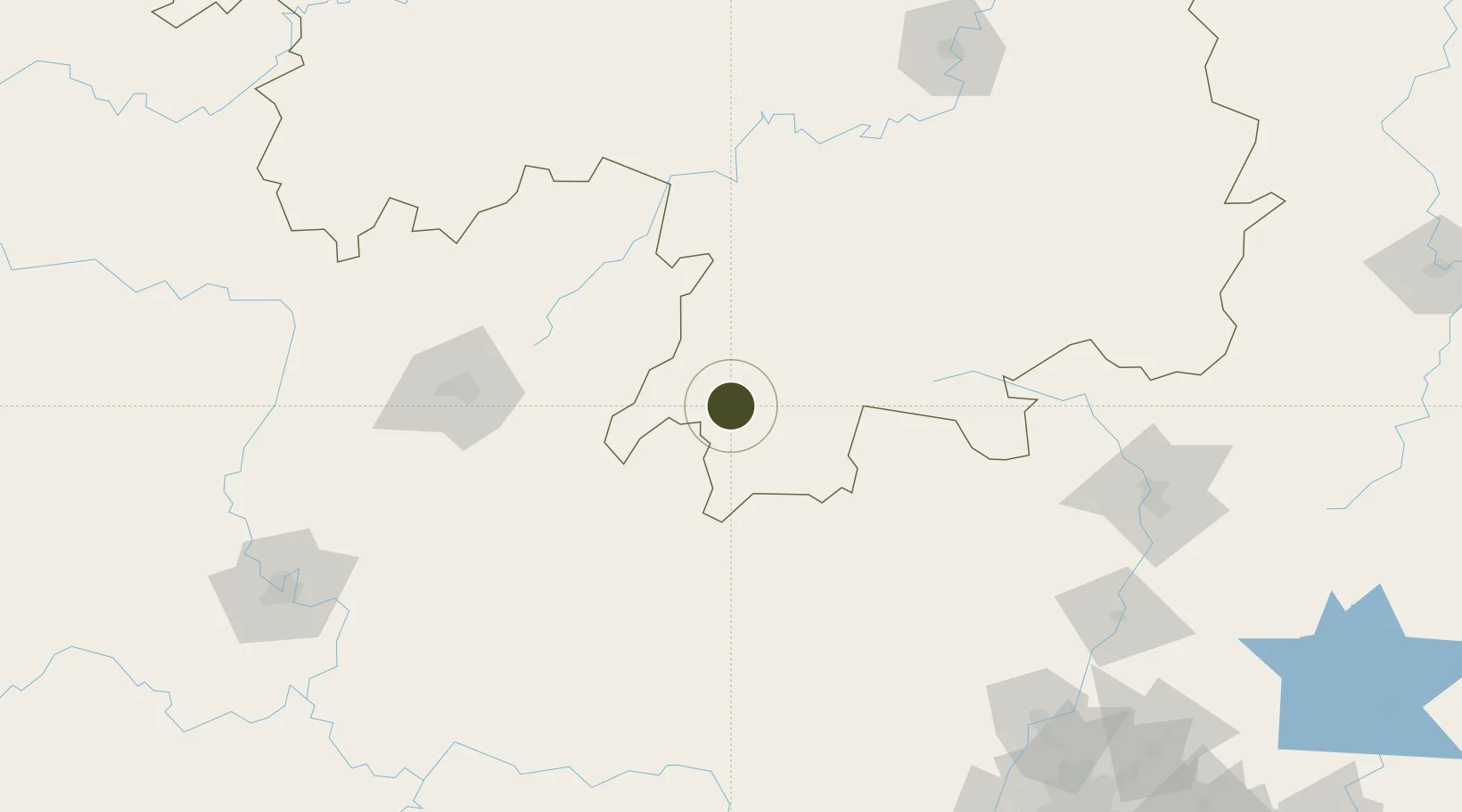
25.1994°, 111.5610°
3,000 ha
Zone area
287.1 km
Nearest port
126.8 km
Nearest airport

Gateway access

Nearest neighbours — logibook spatial index (haversine) over the source coordinates

Zone profile

Zone type
Free Trade Zone
Open Zone Map
Region
Hunan
Open Zone Map
Status
Active
Open Zone Map
Management
Public
Open Zone Map
Operator
Working Committee of Jianghua Economic Development Zone
Open Zone Map
Legal framework
Overall plan for the China (Hunan) Pilot Free Trade Zone
Open Zone Map

Location

Location of ozm-1561
Natural Earth 10m (public domain) · Hunan · ozm-1561 · 25.20, 111.56GoogleOSMYandex

Nearby Logistics Neighbours

Ports
  1. 1Guangzhou287 km
  2. 2Huangpu301 km
  3. 3Huangpuxingang310 km
  4. 4Shekou384 km
  5. 5Zhuhai389 km
Nearest neighbours — logibook spatial index (haversine) over the source coordinates
Airports
  1. 1Yongzhou Lingling Airport127 km
  2. 2Chenzhou Beihu Airport143 km
  3. 3Guilin Liangjiang International Airport153 km
  4. 4Shaoguan Danxia Airport189 km
  5. 5Hengyang Nanyue Airport200 km
Nearest neighbours — logibook spatial index (haversine) over the source coordinates
Cities
  1. 1Zhongshan80 km
  2. 2Lianzhou93 km
  3. 3Guilin129 km
  4. 4Changan150 km
  5. 5Yongfu161 km
Nearest neighbours — logibook spatial index (haversine) over the source coordinates
Trade Zones
  1. 1Jiangyong Industrial Concentration Zone21 km
  2. 2Daoxian Industrial Concentration Zone41 km
  3. 3Ningyuan Industrial Park57 km
  4. 4Hezhou Wanggao Industrial Zone70 km
  5. 5Wanggao Industrial Zone70 km
Nearest neighbours — logibook spatial index (haversine) over the source coordinates
DatabookThe Record of Consolidated Knowledge
China beyond logistics?
Browse databook

All Sources

Trade ZonesOpen Zone Map
CC BY
Portsthe NGA World Port Index
Public domain (US gov)
AirportsOurAirports
Public domain
LocationsUN/LOCODE
UN/LOCODE — free
← China trade zones