Transport Functions
Port
Road
Hub Profile
Place type
District seat
Region
Guangxi
Time zone
Asia/Shanghai
Elevation
150 m
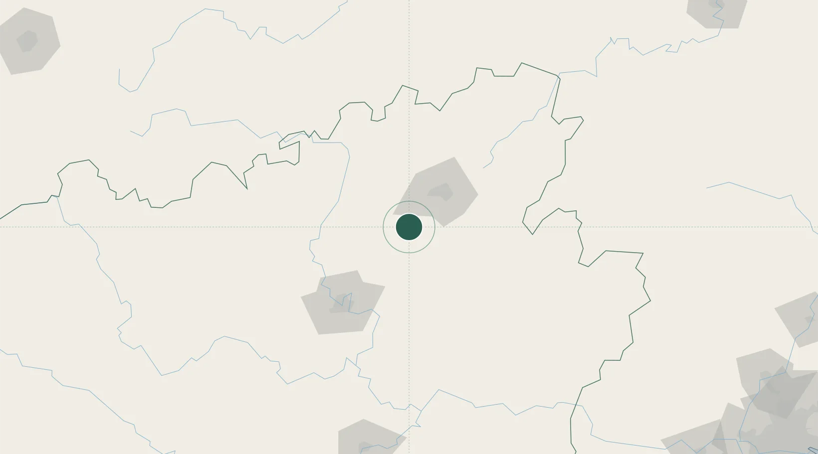
Location
Nearby Logistics Neighbours
Ports
- 1Qinzhou389 km
- 2Guangzhou390 km
- 3Fang-Cheng396 km
- 4Beihai400 km
- 5Shui Dong405 km
Airports
DatabookThe Record of Consolidated Knowledge
China beyond logistics?