Transport Functions
Multimodal
Hub Profile
Place type
Populated place
Region
Shandong
Time zone
Asia/Shanghai
Elevation
37 m
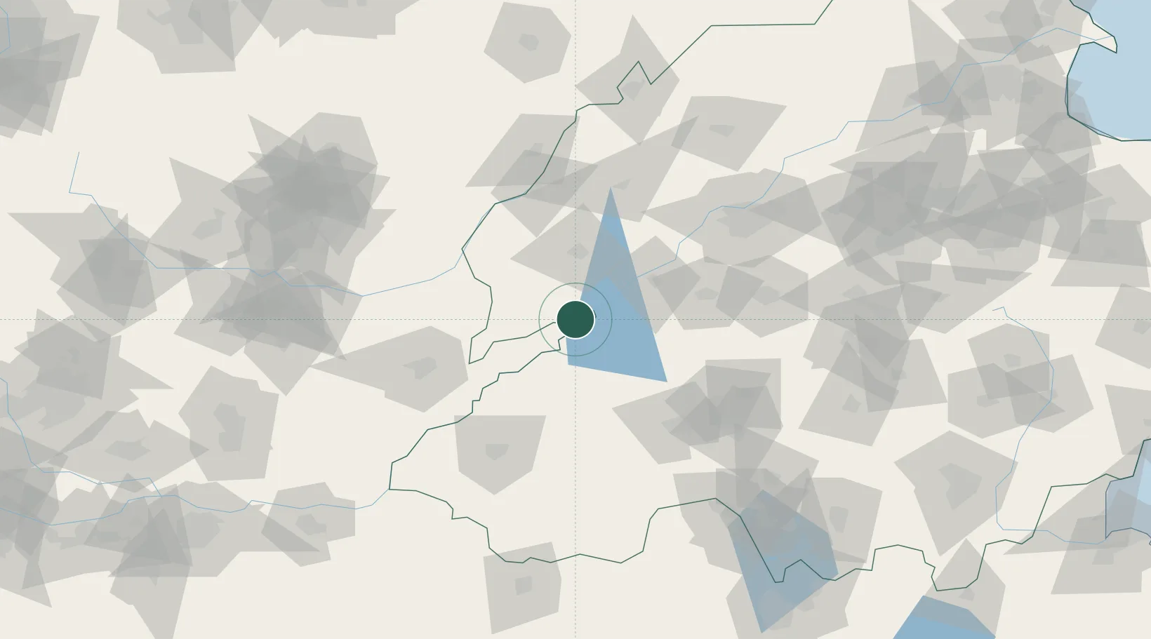
Location
Nearby Logistics Neighbours
Ports
- 1Lanshan326 km
- 2Rizhao333 km
- 3Lianyungang348 km
- 4Tianjin Xin Gang364 km
- 5Qingdao Gang387 km
Airports
- 1Jining Da'an Airport83 km
- 2Jining Qufu Airport91 km
- 3Heze Mudan Airport95 km
- 4Anyang Hongqiqu Airport137 km
- 5Jinan Yaoqiang International Airport143 km
DatabookThe Record of Consolidated Knowledge
China beyond logistics?