Diversified Zone · China

Qiuxian Economic Development Zone Active
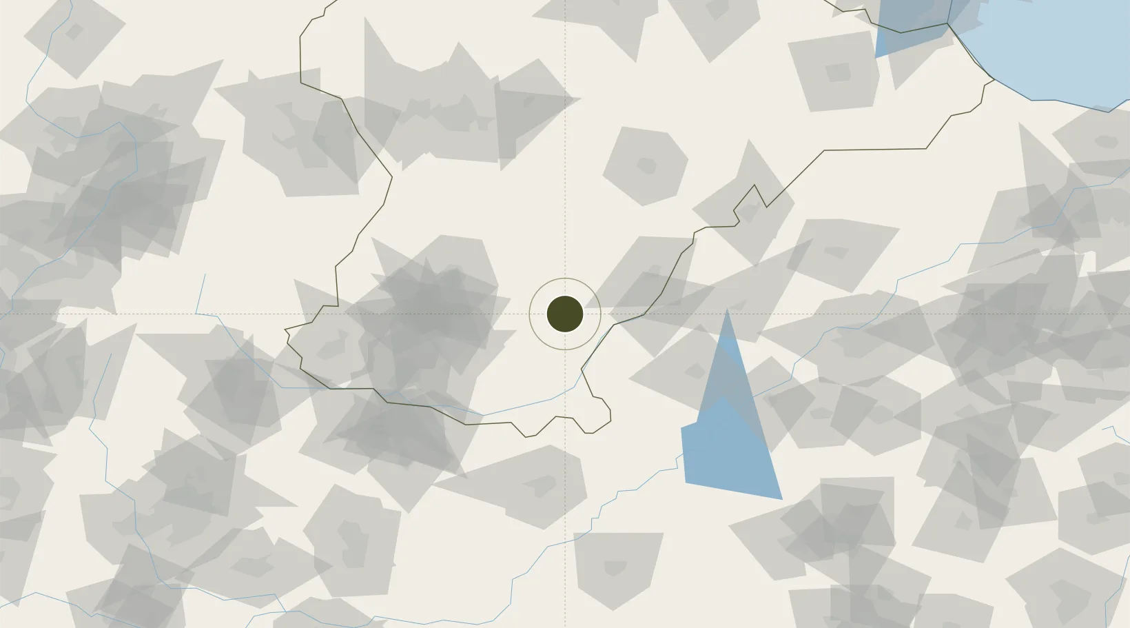
36.8205°, 115.1763°
880 ha
Zone area
333.6 km
Nearest port
74.7 km
Nearest airport

Gateway access

Nearest neighbours — logibook spatial index (haversine) over the source coordinates

Zone profile

Zone type
Diversified Zone
Open Zone Map
Region
Hebei
Open Zone Map
Status
Active
Open Zone Map
Management
Public
Open Zone Map
Operator
Management Committee of Qiu County Economic Development Zone
Open Zone Map
Legal framework
Unavailable
Open Zone Map

Location

Location of ozm-638
Natural Earth 10m (public domain) · Hebei · ozm-638 · 36.82, 115.18GoogleOSMYandex

Nearby Logistics Neighbours

Ports
  1. 1Tianjin Xin Gang334 km
  2. 2Lanshan424 km
  3. 3Rizhao426 km
  4. 4Tangshan (Jingtang)428 km
  5. 5Lianyungang450 km
Nearest neighbours — logibook spatial index (haversine) over the source coordinates
Airports
  1. 1Handan Airport75 km
  2. 2Jiugucheng Air Base112 km
  3. 3Anyang Hongqiqu Airport124 km
  4. 4Shijiazhuang Zhengding International Airport168 km
  5. 5Jinan Yaoqiang International Airport182 km
Nearest neighbours — logibook spatial index (haversine) over the source coordinates
Cities
  1. 1Liaocheng50 km
  2. 2Zhangqiu111 km
  3. 3Dezhou120 km
  4. 4Xinji120 km
  5. 5Puyang126 km
Nearest neighbours — logibook spatial index (haversine) over the source coordinates
Trade Zones
  1. 1Pingxiang High-tech Industrial Development Zone20 km
  2. 2Hebei Jize Economic Development Zone26 km
  3. 3Guantao Economic Development Zone29 km
  4. 4Linxi Bearing Industrial Park32 km
  5. 5Hebei Guangping Economic Development Zone41 km
Nearest neighbours — logibook spatial index (haversine) over the source coordinates
DatabookThe Record of Consolidated Knowledge
China beyond logistics?
Browse databook

All Sources

Trade ZonesOpen Zone Map
CC BY
Portsthe NGA World Port Index
Public domain (US gov)
AirportsOurAirports
Public domain
LocationsUN/LOCODE
UN/LOCODE — free
← China trade zones