Diversified Zone · China

Guangrao Economic Development Zone Active
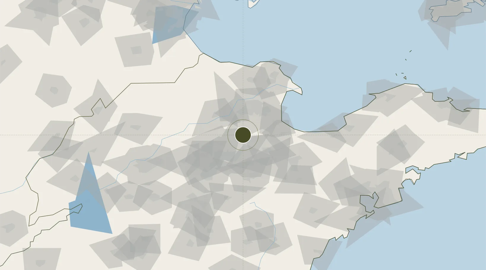
37.0935°, 118.4064°
10,000 ha
Zone area
176.4 km
Nearest port
56.6 km
Nearest airport

Gateway access

Nearest neighbours — logibook spatial index (haversine) over the source coordinates

Zone profile

Zone type
Diversified Zone
Open Zone Map
Region
Shandong
Open Zone Map
Status
Active
Open Zone Map
Management
Public
Open Zone Map
Operator
Management Committee of Guangrao Economic Development Zone
Open Zone Map
Legal framework
It was founded in 1992
Open Zone Map

Location

Location of ozm-999
Natural Earth 10m (public domain) · Shandong · ozm-999 · 37.09, 118.41GoogleOSMYandex

Nearby Logistics Neighbours

Ports
  1. 1Longkou Gang176 km
  2. 2Qingdao Gang204 km
  3. 3Tianjin Xin Gang214 km
  4. 4Rizhao217 km
  5. 5Penglai229 km
Nearest neighbours — logibook spatial index (haversine) over the source coordinates
Airports
  1. 1Dongying Shengli Airport57 km
  2. 2Weifang Nanyuan Airport81 km
  3. 3Jinan Yaoqiang International Airport109 km
  4. 4Guodu Air Base140 km
  5. 5Zhucheng Air Base150 km
Nearest neighbours — logibook spatial index (haversine) over the source coordinates
Cities
  1. 1Zibo41 km
  2. 2Dongying44 km
  3. 3Linzi63 km
  4. 4Weifang71 km
  5. 5Anqiu102 km
Nearest neighbours — logibook spatial index (haversine) over the source coordinates
DatabookThe Record of Consolidated Knowledge
China beyond logistics?
Browse databook

All Sources

Trade ZonesOpen Zone Map
CC BY
Portsthe NGA World Port Index
Public domain (US gov)
AirportsOurAirports
Public domain
LocationsUN/LOCODE
UN/LOCODE — free
← China trade zones