Export Processing Zone · China
Shandong Boxing Economic Development Zone Active
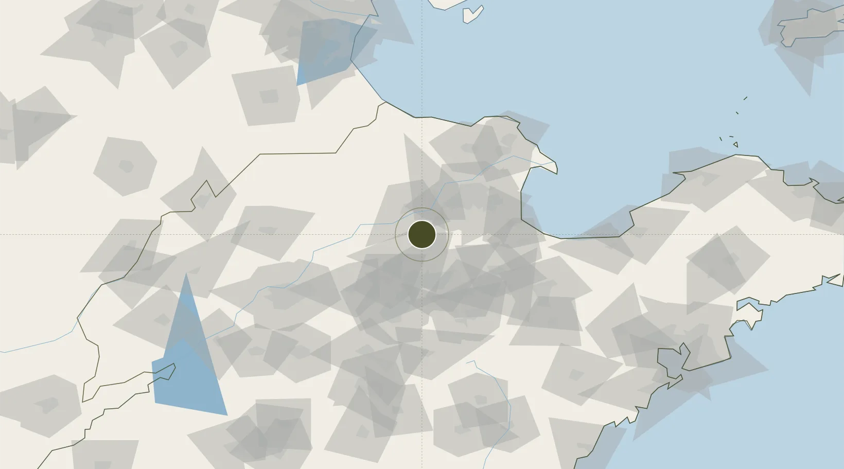
37.1713°, 118.1366°
6,500 ha
Zone area
196.5 km
Nearest port
68.4 km
Nearest airport
Gateway access
Zone profile
Zone type
Export Processing Zone
Region
Shandong
Status
Active
Management
Public
Operator
Working Committee of Shandong Boxing Economic Development Zone
Legal framework
Urban and Rural Planning Law, Regulations on Urban and Rural Planning of Shandong Province, Administrative Measures on Urban Design of Shandong Province, Administrative Measures on Urban Design of Shandong Province (Trial), Overall Urban Design of Boxing
Location
Nearby Logistics Neighbours
Ports
- 1Longkou Gang197 km
- 2Tianjin Xin Gang201 km
- 3Qingdao Gang228 km
- 4Rizhao237 km
- 5Tangshan (Jingtang)238 km
Airports
- 1Dongying Shengli Airport68 km
- 2Jinan Yaoqiang International Airport89 km
- 3Weifang Nanyuan Airport105 km
- 4Guodu Air Base138 km
- 5Zhucheng Air Base172 km
DatabookThe Record of Consolidated Knowledge
China beyond logistics?