Large airport · China
Shenyang Taoxian International AirportZYTX
41.6398°, 123.4837°
10,499 ft
Longest runway
1
Runways
198 ft
Elevation
Runway & Layout

Radio Frequencies
ATIS
127.45 MHz
TWR
118.1 MHz
SHENYANG TWR
GND
121.9 MHz
Taoxian Ground
GND
121.95 MHz
Taoxian Apron
DEL
121.675 MHz
Taoxian Delivery
APPR
119.825 MHz
taoxian approach low fan
Navaids
KY NDB Wangbingou 365 kHz
PU NDB Dongyangjiao 296 kHz
SEY VOR-DME Shenyang 114.10 MHz
Runways · 1
| Runway | Dimensions | Surface | True heading | Lit |
|---|---|---|---|---|
| 06/24 | 10,499 × 148ft | Concrete | 049° | ✓ |
Airport Specifications
IATA code
SHE
ICAO code
ZYTX
Airport class
Large airport
Scheduled service
Yes
Runway surface
Concrete
Served city
Shenyang
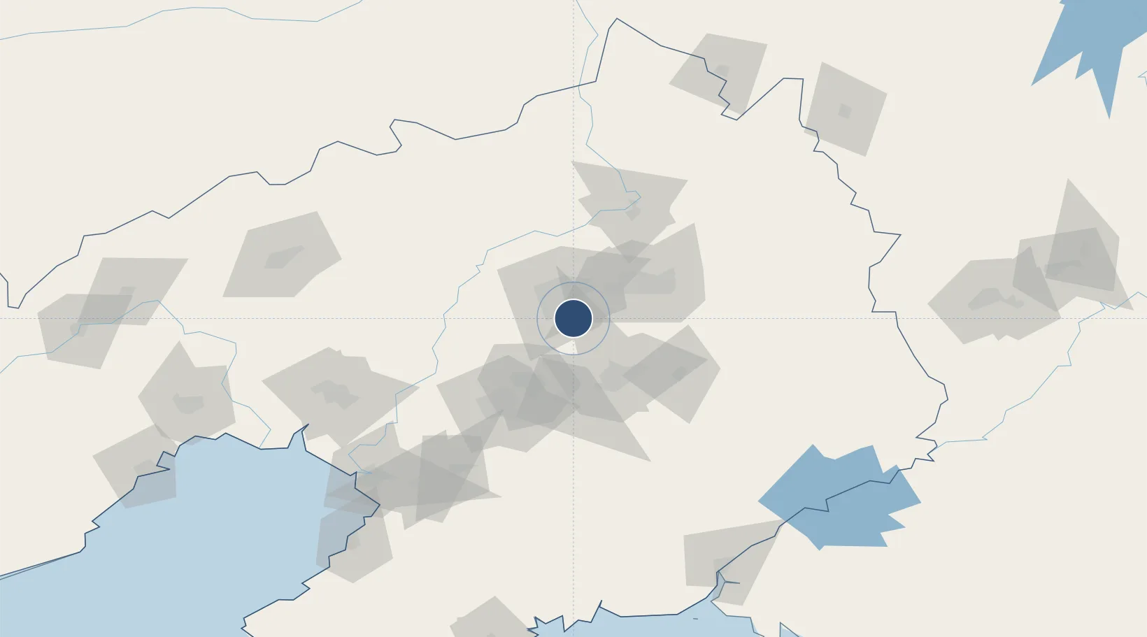
Location
Nearby Logistics Neighbours
Airports
Cities
- 1Shenyang19 km
- 2Fushun42 km
- 3Anping64 km
- 4Anshan Teng'ao Apt65 km
- 5Anshan71 km
Ports
- 1Yingkou149 km
- 2Bayuquan190 km
- 3Dandong210 km
- 4Jinzhou Wan223 km
- 5Huludao Gang234 km
DatabookThe Record of Consolidated Knowledge
China beyond logistics?