Export Processing Zone · China

Shayang Economic Development Zone Active
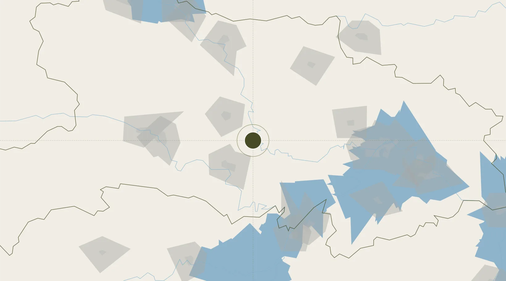
30.6946°, 112.5760°
433 ha
Zone area
163.8 km
Nearest port
46.3 km
Nearest airport

Gateway access

Nearest neighbours — logibook spatial index (haversine) over the source coordinates

Zone profile

Zone type
Export Processing Zone
Open Zone Map
Region
Hubei
Open Zone Map
Status
Active
Open Zone Map
Management
Public
Open Zone Map
Operator
Working Committee of Shayang Economic Development Zone
Open Zone Map
Legal framework
The draft general Plan of Hubei Shayang Economic Development Zone (2014-2030) (2019 adjustment) was released for public comment
Open Zone Map

Location

Location of ozm-1141
Natural Earth 10m (public domain) · Hubei · ozm-1141 · 30.69, 112.58GoogleOSMYandex

Nearby Logistics Neighbours

Ports
  1. 1Hankow164 km
  2. 2Nanjing606 km
  3. 3Zhenjiang672 km
  4. 4Yangzhou673 km
  5. 5Gaogang712 km
Nearest neighbours — logibook spatial index (haversine) over the source coordinates
Airports
  1. 1Jingzhou Shashi Airport46 km
  2. 2Dangyang Air Base74 km
  3. 3Yichang Sanxia Airport106 km
  4. 4Xiaogan Air Base131 km
  5. 5Wuhan Hannan Municipal Airport151 km
Nearest neighbours — logibook spatial index (haversine) over the source coordinates
Cities
  1. 1Jingzhou Pt53 km
  2. 2Baiyang106 km
  3. 3Chenglingji Pt151 km
  4. 4Yueyang151 km
  5. 5Xiangfan155 km
Nearest neighbours — logibook spatial index (haversine) over the source coordinates
Trade Zones
  1. 1Jingshan Economic Development Zone66 km
  2. 2Jiangling Economic Development Zone73 km
  3. 3Dangyang Economic Development Zone76 km
  4. 4Xiantao Economic Development Zone95 km
  5. 5Yuanan Industrial Park99 km
Nearest neighbours — logibook spatial index (haversine) over the source coordinates
DatabookThe Record of Consolidated Knowledge
China beyond logistics?
Browse databook

All Sources

Trade ZonesOpen Zone Map
CC BY
Portsthe NGA World Port Index
Public domain (US gov)
AirportsOurAirports
Public domain
LocationsUN/LOCODE
UN/LOCODE — free
← China trade zones