Medium airport · China

Yichang Sanxia AirportZHYC
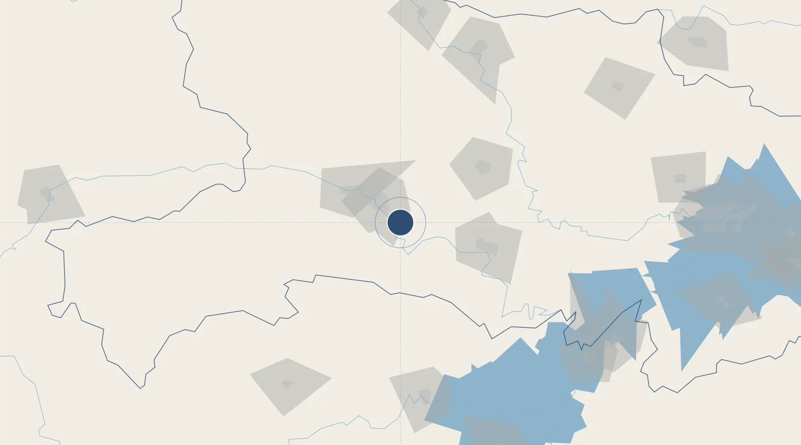
30.5541°, 111.4826°
10,499 ft
Longest runway
1
Runways
673 ft
Elevation

Runway & Layout

Yichang Sanxia Airport runway & taxiway layout
Runway & taxiway layout — OpenStreetMap (ODbL) / OurAirports

Runways · 1

RunwayDimensions SurfaceTrue headingLit
14/32 10,499 × 148ft CONC
OurAirports

Airport Specifications

IATA code
YIH
OurAirports
ICAO code
ZHYC
OurAirports
Airport class
Medium airport
OurAirports
Scheduled service
Yes
OurAirports
Runway surface
CONC
OurAirports
Served city
Yichang (Xiaoting)
OurAirports

Location

Location of ZHYC
Natural Earth 10m (public domain) · Hubei · ZHYC · 30.55, 111.48GoogleOSMYandex

Nearby Logistics Neighbours

Airports
  1. 1Dangyang Air Base42 km
  2. 2Jingzhou Shashi Airport97 km
  3. 3Shennongjia Hongping Airport161 km
  4. 4Chongqing Wushan Airport179 km
  5. 5Changde Taohuayuan Airport183 km
Nearest neighbours — logibook spatial index (haversine) over the source coordinates
Cities
  1. 1Baiyang14 km
  2. 2Jingzhou Pt80 km
  3. 3Badong118 km
  4. 4Changde174 km
  5. 5Xiangfan176 km
Nearest neighbours — logibook spatial index (haversine) over the source coordinates
Ports
  1. 1Hankow268 km
  2. 2Nanjing711 km
  3. 3Zhenjiang777 km
  4. 4Yangzhou778 km
  5. 5Gaogang817 km
Nearest neighbours — logibook spatial index (haversine) over the source coordinates
Trade Zones
  1. 1Wufeng Industrial Park11 km
  2. 2Zhijiang Economic and Technological Development Zone14 km
  3. 3Yidu High-tech Industrial Park24 km
  4. 4Dianjun Industrial Park26 km
  5. 5Yiling Economic Development Zone30 km
Nearest neighbours — logibook spatial index (haversine) over the source coordinates
DatabookThe Record of Consolidated Knowledge
China beyond logistics?
Browse databook

All Sources

AirportsOurAirports
Public domain
Portsthe NGA World Port Index
Public domain (US gov)
LocationsUN/LOCODE
UN/LOCODE — free
Trade Zonesthe World Bank SEZ database
CC BY 4.0
Trade ZonesOpen Zone Map
CC BY
InfrastructureOpenStreetMap
ODbL 1.0
← China airports