Diversified Zone · China

Yuanan Industrial Park Active
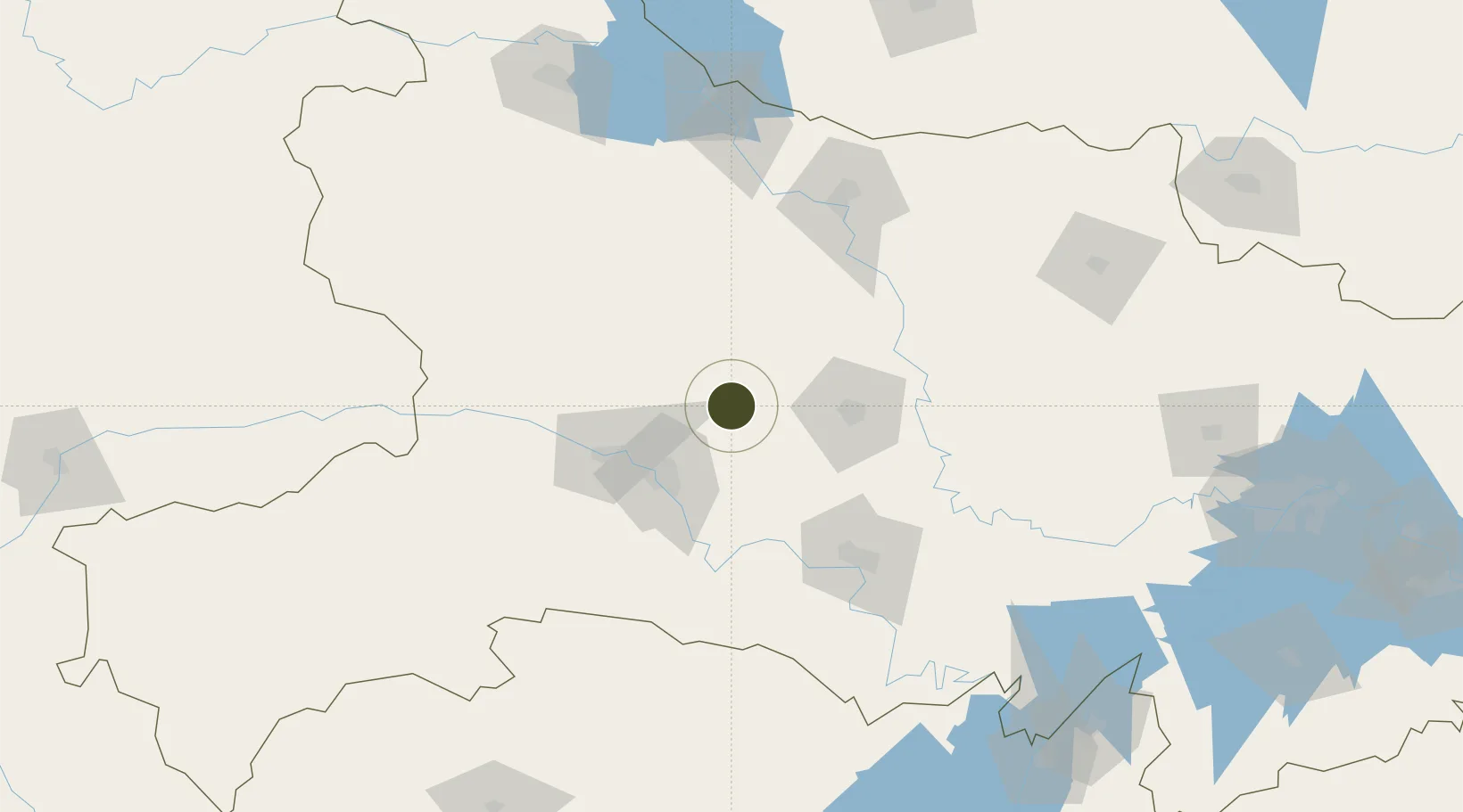
31.0666°, 111.6288°
800 ha
Zone area
259.1 km
Nearest port
34.5 km
Nearest airport

Gateway access

Nearest neighbours — logibook spatial index (haversine) over the source coordinates

Zone profile

Zone type
Diversified Zone
Open Zone Map
Region
Hubei
Open Zone Map
Status
Active
Open Zone Map
Management
Public
Open Zone Map
Operator
Management Committee of Yuan'an Industrial Park
Open Zone Map
Legal framework
It was established in March 2006
Open Zone Map

Location

Location of ozm-617
Natural Earth 10m (public domain) · Hubei · ozm-617 · 31.07, 111.63GoogleOSMYandex

Nearby Logistics Neighbours

Ports
  1. 1Hankow259 km
  2. 2Nanjing684 km
  3. 3Zhenjiang750 km
  4. 4Yangzhou750 km
  5. 5Gaogang789 km
Nearest neighbours — logibook spatial index (haversine) over the source coordinates
Airports
  1. 1Dangyang Air Base35 km
  2. 2Yichang Sanxia Airport59 km
  3. 3Jingzhou Shashi Airport116 km
  4. 4Xiangyang Liuji Airport136 km
  5. 5Shennongjia Hongping Airport137 km
Nearest neighbours — logibook spatial index (haversine) over the source coordinates
Cities
  1. 1Baiyang71 km
  2. 2Jingzhou Pt105 km
  3. 3Xiangfan118 km
  4. 4Badong119 km
  5. 5Shiyan195 km
Nearest neighbours — logibook spatial index (haversine) over the source coordinates
Trade Zones
  1. 1Dangyang Economic Development Zone30 km
  2. 2Yiling Economic Development Zone38 km
  3. 3Yidu High-tech Industrial Park47 km
  4. 4Dianjun Industrial Park53 km
  5. 5Wufeng Industrial Park69 km
Nearest neighbours — logibook spatial index (haversine) over the source coordinates
DatabookThe Record of Consolidated Knowledge
China beyond logistics?
Browse databook

All Sources

Trade ZonesOpen Zone Map
CC BY
Portsthe NGA World Port Index
Public domain (US gov)
AirportsOurAirports
Public domain
LocationsUN/LOCODE
UN/LOCODE — free
← China trade zones