Diversified Zone · China

Dangyang Economic Development Zone Active
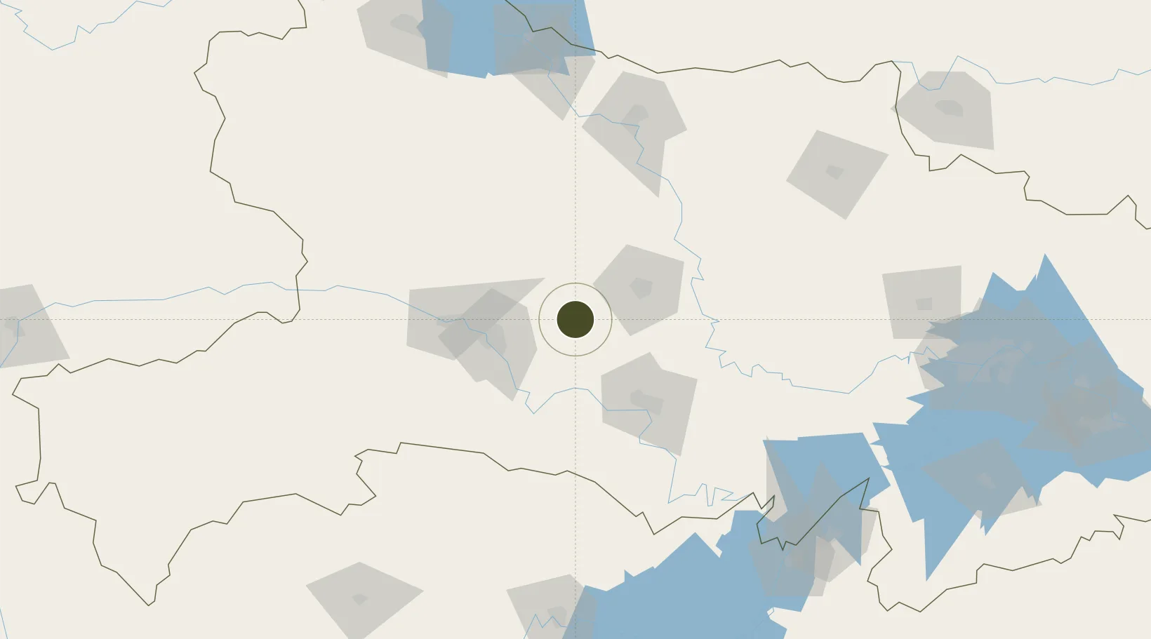
30.8453°, 111.8045°
900 ha
Zone area
238.7 km
Nearest port
5.2 km
Nearest airport

Gateway access

Nearest neighbours — logibook spatial index (haversine) over the source coordinates

Zone profile

Zone type
Diversified Zone
Open Zone Map
Region
Hubei
Open Zone Map
Status
Active
Open Zone Map
Management
Public
Open Zone Map
Operator
Management Committee of Dangyang Economic Development Zone
Open Zone Map
Legal framework
It was established in June 1992
Open Zone Map

Location

Location of ozm-645
Natural Earth 10m (public domain) · Hubei · ozm-645 · 30.85, 111.80GoogleOSMYandex

Nearby Logistics Neighbours

Ports
  1. 1Hankow239 km
  2. 2Nanjing673 km
  3. 3Zhenjiang739 km
  4. 4Yangzhou740 km
  5. 5Gaogang779 km
Nearest neighbours — logibook spatial index (haversine) over the source coordinates
Airports
  1. 1Dangyang Air Base5 km
  2. 2Yichang Sanxia Airport45 km
  3. 3Jingzhou Shashi Airport87 km
  4. 4Xiangyang Liuji Airport153 km
  5. 5Shennongjia Hongping Airport164 km
Nearest neighbours — logibook spatial index (haversine) over the source coordinates
Cities
  1. 1Baiyang54 km
  2. 2Jingzhou Pt75 km
  3. 3Xiangfan136 km
  4. 4Badong137 km
  5. 5Chenglingji Pt203 km
Nearest neighbours — logibook spatial index (haversine) over the source coordinates
Trade Zones
  1. 1Yuanan Industrial Park30 km
  2. 2Yiling Economic Development Zone42 km
  3. 3Yidu High-tech Industrial Park46 km
  4. 4Zhijiang Economic and Technological Development Zone52 km
  5. 5Wufeng Industrial Park52 km
Nearest neighbours — logibook spatial index (haversine) over the source coordinates
DatabookThe Record of Consolidated Knowledge
China beyond logistics?
Browse databook

All Sources

Trade ZonesOpen Zone Map
CC BY
Portsthe NGA World Port Index
Public domain (US gov)
AirportsOurAirports
Public domain
LocationsUN/LOCODE
UN/LOCODE — free
← China trade zones