UN/LOCODE hub · China
CNXGF

Xiangfan

32.0333°, 112.1333°
1
Transport functions

Transport Functions

Multimodal
UN/LOCODE

Hub Profile

Region
HB
GeoNames

Location

Location of CNXGF
Natural Earth 10m (public domain) · HB · CNXGF · 32.03, 112.13GoogleOSMYandex

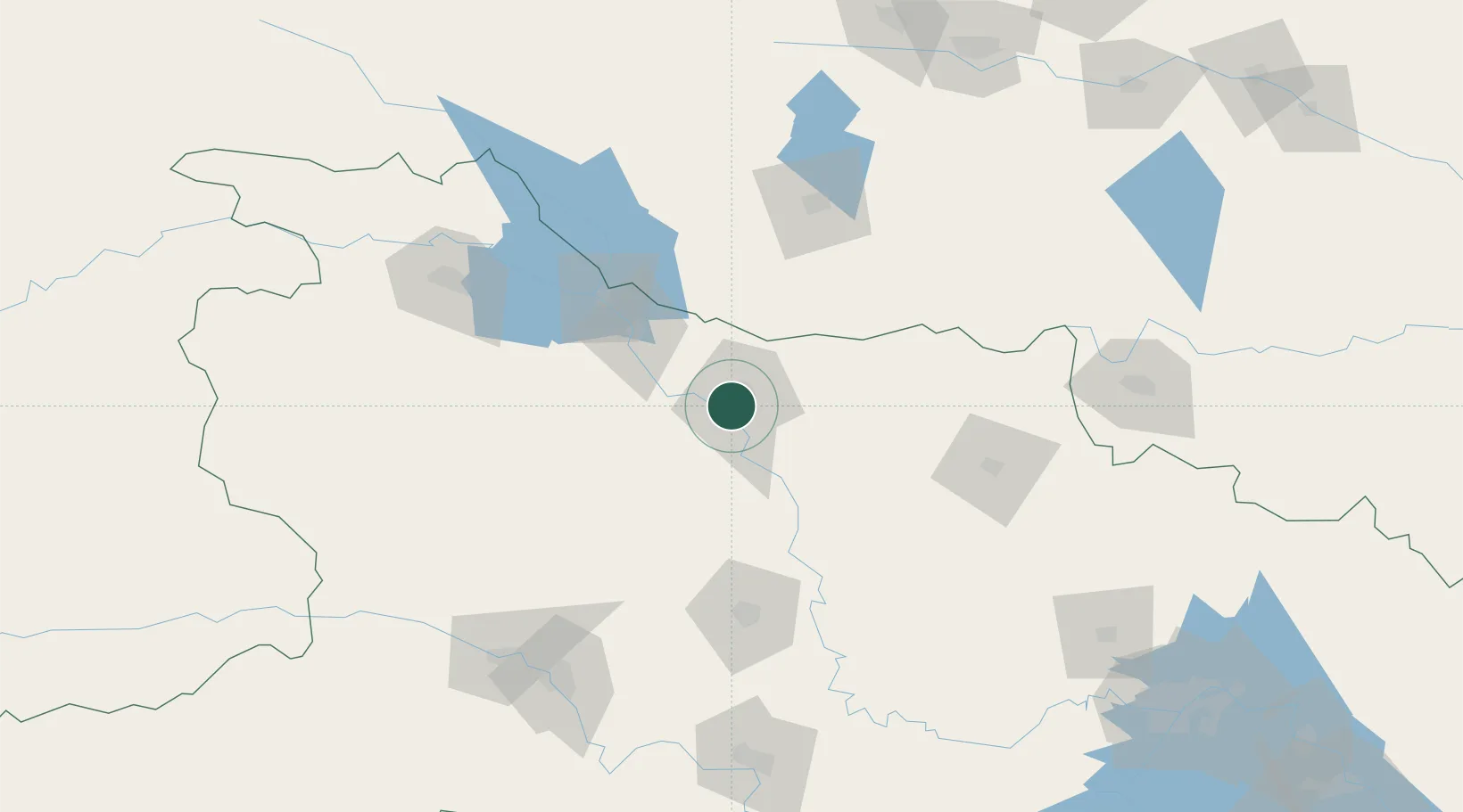
Nearby Logistics Neighbours

Cities
  1. 1Nanyang114 km
  2. 2Shiyan145 km
  3. 3Xinyang181 km
  4. 4Baiyang187 km
  5. 5Jingzhou Pt193 km
Nearest neighbours — logibook spatial index (haversine) over the source coordinates
Ports
  1. 1Hankow260 km
  2. 2Nanjing624 km
  3. 3Yangzhou688 km
  4. 4Zhenjiang688 km
  5. 5Gaogang727 km
Nearest neighbours — logibook spatial index (haversine) over the source coordinates
Airports
  1. 1Xiangyang Liuji Airport20 km
  2. 2Guangzhou MR Air Base / Guanghua Airport57 km
  3. 3Nanyang Jiangying Airport115 km
  4. 4Shiyan Wudangshan Airport131 km
  5. 5Dangyang Air Base141 km
Nearest neighbours — logibook spatial index (haversine) over the source coordinates
Trade Zones
  1. 1Baokang Economic Development Zone2 km
  2. 2Xiang Yang High-Tech Industrial Development Zone8 km
  3. 3Xiangcheng Economic Development Zone15 km
  4. 4Yicheng Economic Development Zone41 km
  5. 5Laohekou Economic Development Zone55 km
Nearest neighbours — logibook spatial index (haversine) over the source coordinates
DatabookThe Record of Consolidated Knowledge
China beyond logistics?
Browse databook

All Sources

LocationsUN/LOCODE
UN/LOCODE — free
Portsthe NGA World Port Index
Public domain (US gov)
AirportsOurAirports
Public domain
Trade Zonesthe World Bank SEZ database
CC BY 4.0
Trade ZonesOpen Zone Map
CC BY
← China locations