Transport Functions
Port
Hub Profile
Place type
Local administrative seat
Region
Hubei
Time zone
Asia/Shanghai
Elevation
49 m
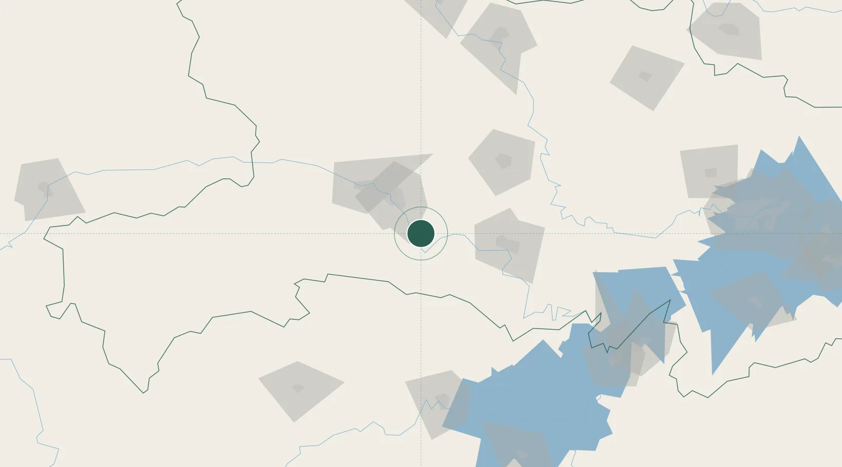
Location
Nearby Logistics Neighbours
Cities
- 1Jingzhou Pt74 km
- 2Badong127 km
- 3Changde160 km
- 4Zhangjiajie181 km
- 5Xiangfan187 km
Airports
- 1Yichang Sanxia Airport14 km
- 2Dangyang Air Base49 km
- 3Jingzhou Shashi Airport91 km
- 4Changde Taohuayuan Airport169 km
- 5Shennongjia Hongping Airport174 km
DatabookThe Record of Consolidated Knowledge
China beyond logistics?