Transport Functions
Port
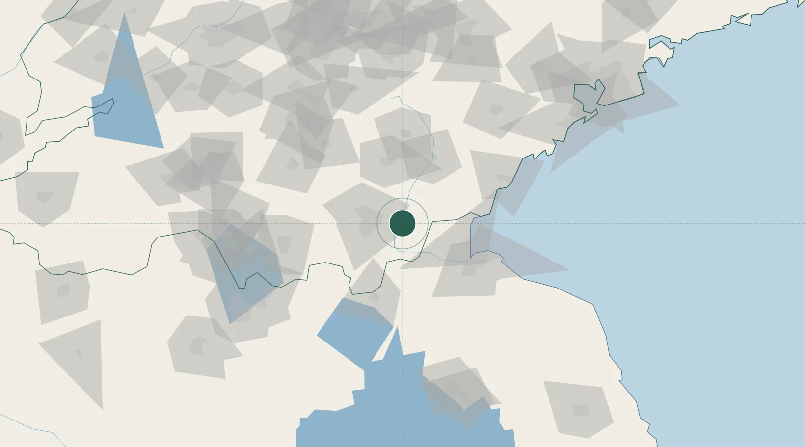
Hub Profile
Place type
Populated place
Region
Shandong
Time zone
Asia/Shanghai
Elevation
66 m
Location
Nearby Logistics Neighbours
Cities
- 1Linyi40 km
- 2Cangshan54 km
- 3Lanshan Pt70 km
- 4Chizhou76 km
- 5Lianyungang77 km
Ports
- 1Lanshan70 km
- 2Lianyungang84 km
- 3Rizhao97 km
- 4Qingdao Gang189 km
- 5Yangzhou315 km
Airports
- 1Linyi Qiyang Airport18 km
- 2Rizhao Shanzihe Airport79 km
- 3Lianyungang Huaguoshan International Airport85 km
- 4Zhucheng Air Base136 km
- 5Guodu Air Base141 km
DatabookThe Record of Consolidated Knowledge
China beyond logistics?