Transport Functions
Rail
Road
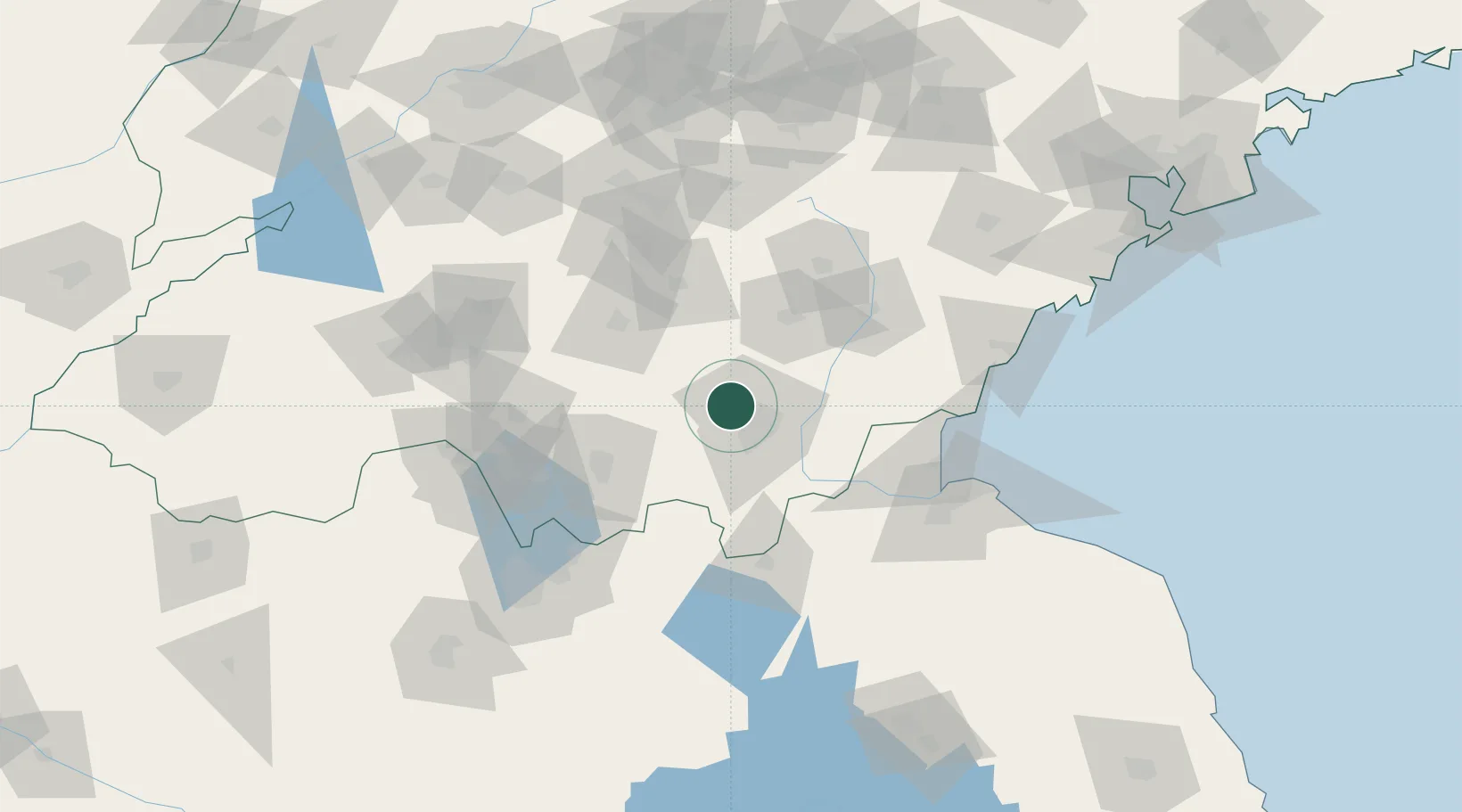
Hub Profile
Place type
Provincial seat
Region
Shandong
Population
2,743,843
Time zone
Asia/Shanghai
Elevation
69 m
Logistics facilities
2
Location
Nearby Logistics Neighbours
Ports
- 1Lanshan108 km
- 2Lianyungang123 km
- 3Rizhao129 km
- 4Qingdao Gang213 km
- 5Longkou Gang336 km
Airports
- 1Linyi Qiyang Airport22 km
- 2Rizhao Shanzihe Airport108 km
- 3Guodu Air Base110 km
- 4Lianyungang Huaguoshan International Airport120 km
- 5Xuzhou Daguozhang Air Base132 km
DatabookThe Record of Consolidated Knowledge
China beyond logistics?