Export Processing Zone · China

Feixian Economic Development Zone Active
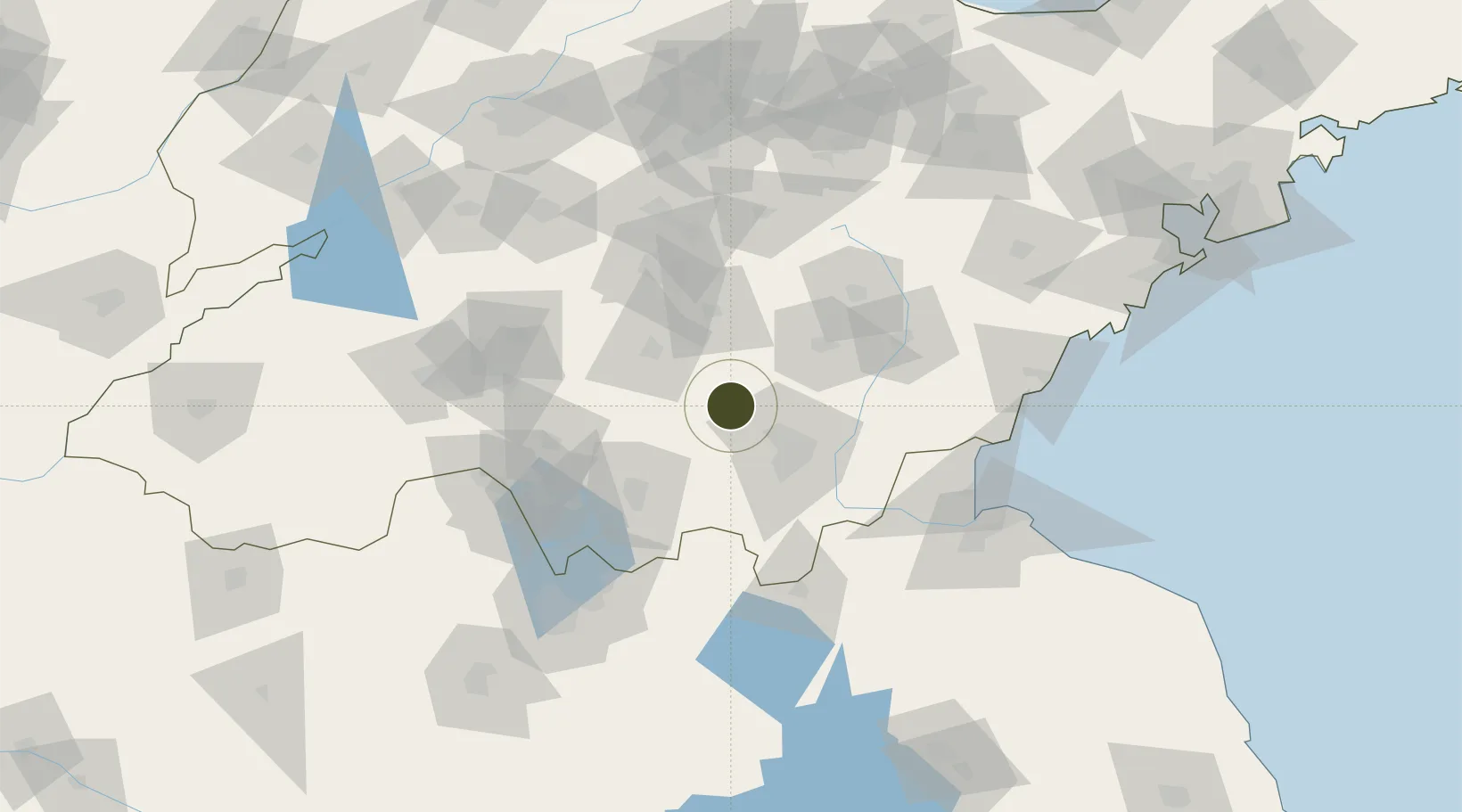
35.2589°, 118.0235°
16,700 ha
Zone area
123.7 km
Nearest port
42.1 km
Nearest airport

Gateway access

Nearest neighbours — logibook spatial index (haversine) over the source coordinates

Zone profile

Zone type
Export Processing Zone
Open Zone Map
Region
Shandong
Open Zone Map
Status
Active
Open Zone Map
Management
Public
Open Zone Map
Operator
Management Committee of Feixian Economic Development Zone
Open Zone Map
Legal framework
Established in March 2006
Open Zone Map

Location

Location of ozm-1469
Natural Earth 10m (public domain) · Shandong · ozm-1469 · 35.26, 118.02GoogleOSMYandex

Nearby Logistics Neighbours

Ports
  1. 1Lanshan124 km
  2. 2Rizhao141 km
  3. 3Lianyungang143 km
  4. 4Qingdao Gang220 km
  5. 5Longkou Gang333 km
Nearest neighbours — logibook spatial index (haversine) over the source coordinates
Airports
  1. 1Linyi Qiyang Airport42 km
  2. 2Guodu Air Base90 km
  3. 3Rizhao Shanzihe Airport119 km
  4. 4Jining Da'an Airport124 km
  5. 5Xuzhou Daguozhang Air Base135 km
Nearest neighbours — logibook spatial index (haversine) over the source coordinates
Cities
  1. 1Linyi21 km
  2. 2Cangshan46 km
  3. 3Baimao59 km
  4. 4Chizhou79 km
  5. 5Zaozhuang80 km
Nearest neighbours — logibook spatial index (haversine) over the source coordinates
Trade Zones
  1. 1Shandong Linyi Economic Development Zone44 km
  2. 2Lanling Economic Development Zone45 km
  3. 3Mengyin Economic Development Zone49 km
  4. 4Shanting Economic Development Zone58 km
  5. 5Linshu Economic Development Zone63 km
Nearest neighbours — logibook spatial index (haversine) over the source coordinates
DatabookThe Record of Consolidated Knowledge
China beyond logistics?
Browse databook

All Sources

Trade ZonesOpen Zone Map
CC BY
Portsthe NGA World Port Index
Public domain (US gov)
AirportsOurAirports
Public domain
LocationsUN/LOCODE
UN/LOCODE — free
← China trade zones