Export Processing Zone · China

Yishui Economic Development Zone Active
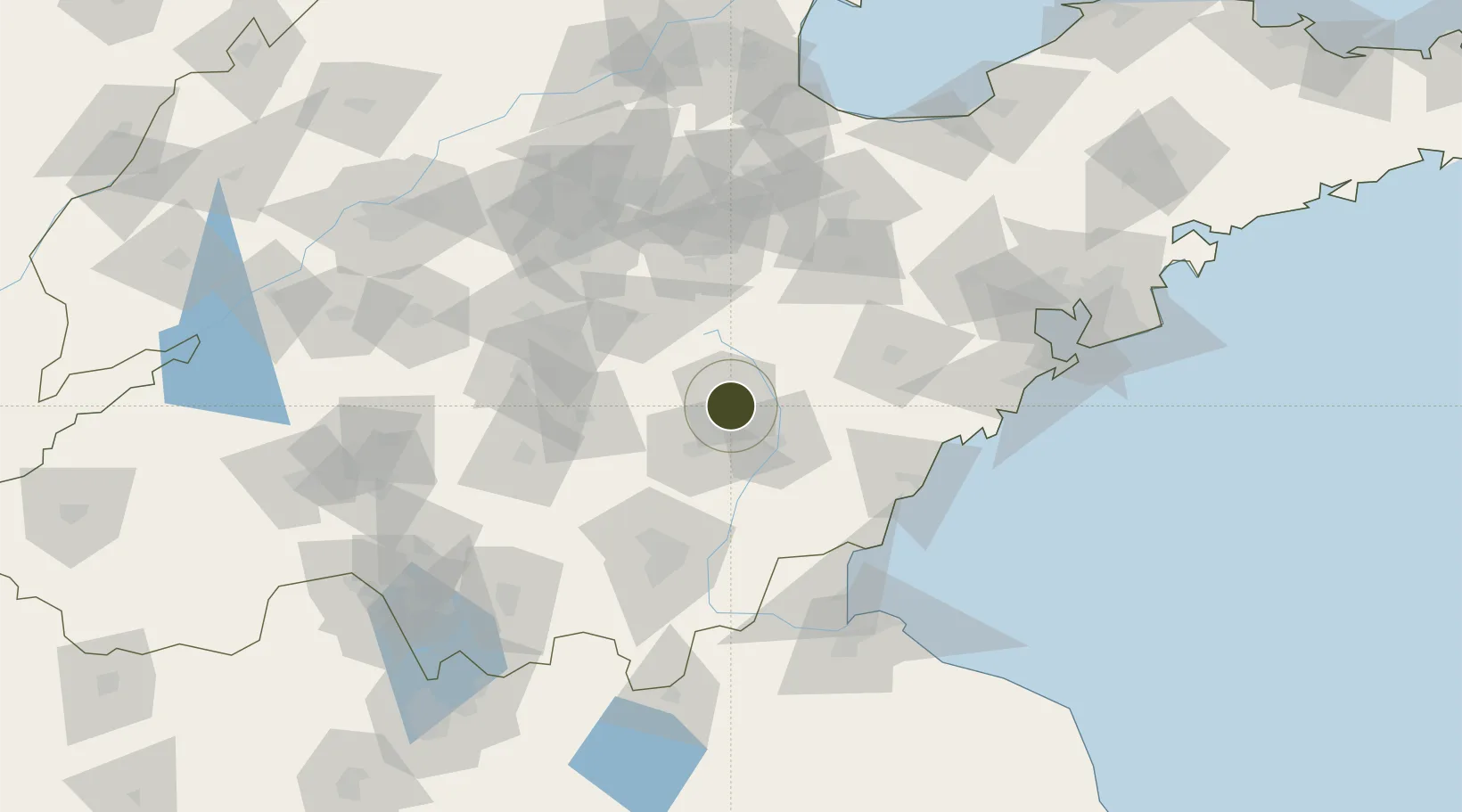
35.7617°, 118.6346°
25,870 ha
Zone area
94.2 km
Nearest port
73.9 km
Nearest airport

Gateway access

Nearest neighbours — logibook spatial index (haversine) over the source coordinates

Zone profile

Zone type
Export Processing Zone
Open Zone Map
Region
Shandong
Open Zone Map
Status
Active
Open Zone Map
Management
Public
Open Zone Map
Operator
Working Committee of Yishui Economic Development Zone
Open Zone Map
Legal framework
ISO9001 quality management standard and ISO14001 environmental management standard system certification
Open Zone Map

Location

Location of ozm-1475
Natural Earth 10m (public domain) · Shandong · ozm-1475 · 35.76, 118.63GoogleOSMYandex

Nearby Logistics Neighbours

Ports
  1. 1Rizhao94 km
  2. 2Lanshan101 km
  3. 3Lianyungang136 km
  4. 4Qingdao Gang150 km
  5. 5Longkou Gang255 km
Nearest neighbours — logibook spatial index (haversine) over the source coordinates
Airports
  1. 1Rizhao Shanzihe Airport74 km
  2. 2Zhucheng Air Base78 km
  3. 3Linyi Qiyang Airport81 km
  4. 4Guodu Air Base95 km
  5. 5Weifang Nanyuan Airport108 km
Nearest neighbours — logibook spatial index (haversine) over the source coordinates
Cities
  1. 1Linyi82 km
  2. 2Baimao83 km
  3. 3Linzi87 km
  4. 4Anqiu88 km
  5. 5Rizhao91 km
Nearest neighbours — logibook spatial index (haversine) over the source coordinates
Trade Zones
  1. 1Juxian Economic Development Zone25 km
  2. 2Mengyin Economic Development Zone59 km
  3. 3Yiyuan Economic Development Zone60 km
  4. 4Laiwu Steel City Economic Development Zone71 km
  5. 5Zhucheng Economic Development Zone75 km
Nearest neighbours — logibook spatial index (haversine) over the source coordinates
DatabookThe Record of Consolidated Knowledge
China beyond logistics?
Browse databook

All Sources

Trade ZonesOpen Zone Map
CC BY
Portsthe NGA World Port Index
Public domain (US gov)
AirportsOurAirports
Public domain
LocationsUN/LOCODE
UN/LOCODE — free
← China trade zones