Transport Functions
Multimodal
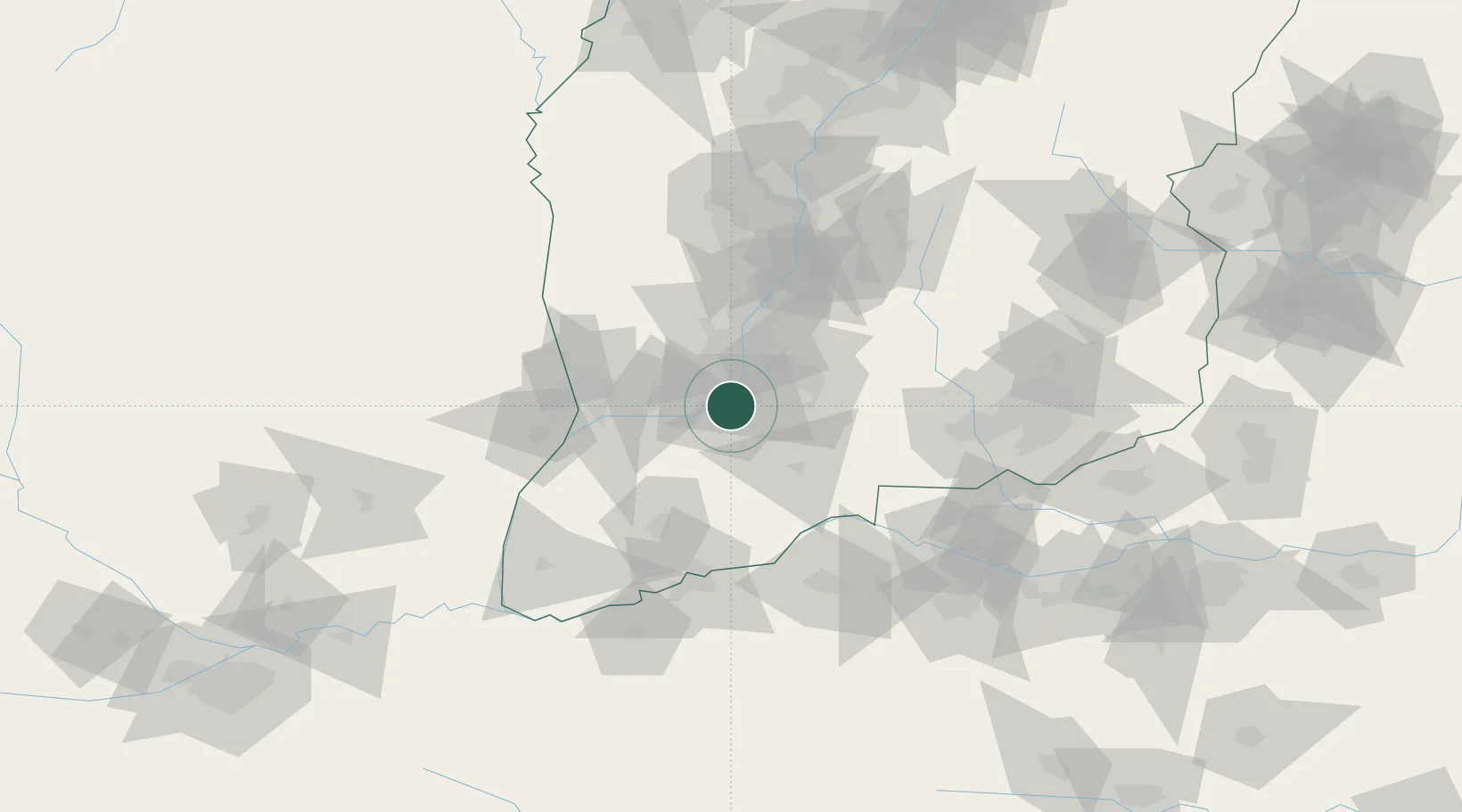
Hub Profile
Place type
Populated place
Region
Shandong
Time zone
Asia/Shanghai
Elevation
52 m
Location
Nearby Logistics Neighbours
Ports
- 1Hankow623 km
- 2Tianjin Xin Gang684 km
- 3Lanshan729 km
- 4Lianyungang743 km
- 5Rizhao744 km
Airports
- 1Yuncheng Yanhu International Airport62 km
- 2Linfen Yaodu Airport63 km
- 3Luoyang Beijiao Airport136 km
- 4Changzhi Wangcun Airport175 km
- 5Yan'an Nanniwan Airport195 km
DatabookThe Record of Consolidated Knowledge
China beyond logistics?