Export Processing Zone · China

Sanmenxia Economic and Technical Development Zone Active
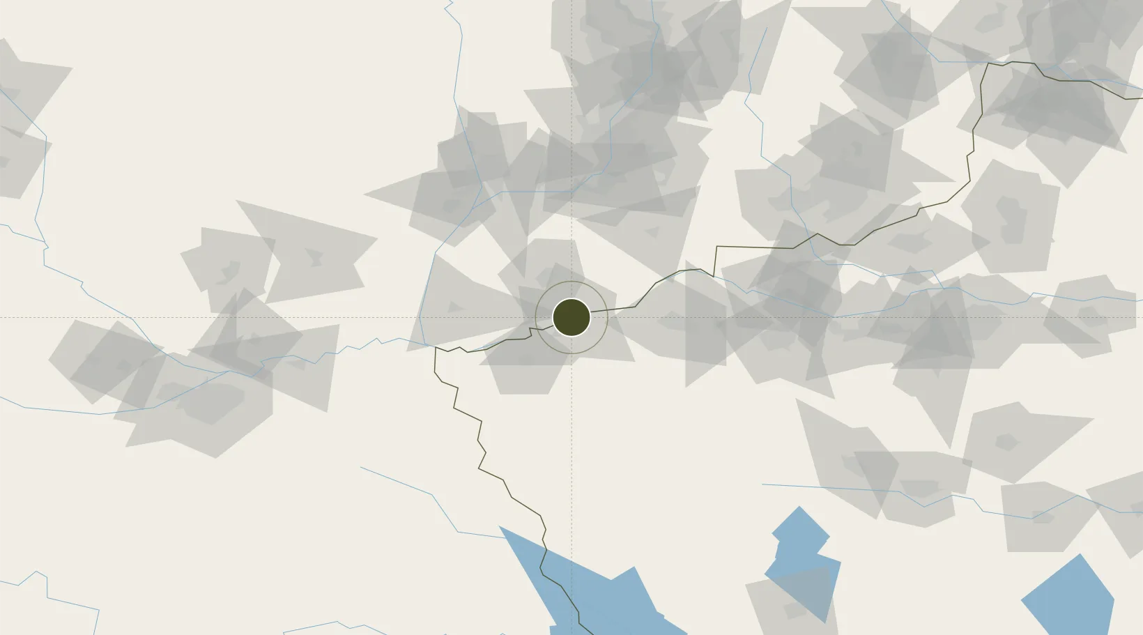
34.7977°, 111.1685°
1,085 ha
Zone area
551.8 km
Nearest port
37.6 km
Nearest airport

Gateway access

Nearest neighbours — logibook spatial index (haversine) over the source coordinates

Zone profile

Zone type
Export Processing Zone
Open Zone Map
Region
Henan
Open Zone Map
Status
Active
Open Zone Map
Management
Public
Open Zone Map
Operator
Sanmenxia Economic and Technological Development Zone Management Committee
Open Zone Map
Legal framework
Unavailable
Open Zone Map

Location

Location of ozm-1269
Natural Earth 10m (public domain) · Henan · ozm-1269 · 34.80, 111.17GoogleOSMYandex

Nearby Logistics Neighbours

Ports
  1. 1Hankow552 km
  2. 2Lanshan748 km
  3. 3Tianjin Xin Gang752 km
  4. 4Lianyungang756 km
  5. 5Nanjing765 km
Nearest neighbours — logibook spatial index (haversine) over the source coordinates
Airports
  1. 1Yuncheng Yanhu International Airport38 km
  2. 2Luoyang Beijiao Airport112 km
  3. 3Linfen Yaodu Airport155 km
  4. 4Yanliang Air Base177 km
  5. 5Xi'an Xiguan Airport193 km
Nearest neighbours — logibook spatial index (haversine) over the source coordinates
Cities
  1. 1Yuncheng30 km
  2. 2Houma93 km
  3. 3Luoyang111 km
  4. 4Linfen146 km
  5. 5Weinan156 km
Nearest neighbours — logibook spatial index (haversine) over the source coordinates
Trade Zones
  1. 1Mianchi County Industrial Cluster57 km
  2. 2Qingcheng Yima Industrial Concentration Zone63 km
  3. 3Yima City Coal Chemical Industry Cluster63 km
  4. 4Luoning County Industrial Cluster66 km
  5. 5Luoyang Petrochemical Industry Cluster103 km
Nearest neighbours — logibook spatial index (haversine) over the source coordinates
DatabookThe Record of Consolidated Knowledge
China beyond logistics?
Browse databook

All Sources

Trade ZonesOpen Zone Map
CC BY
Portsthe NGA World Port Index
Public domain (US gov)
AirportsOurAirports
Public domain
LocationsUN/LOCODE
UN/LOCODE — free
← China trade zones