Industrial Zone · Vietnam

Thuan Yen Industrial Park Active
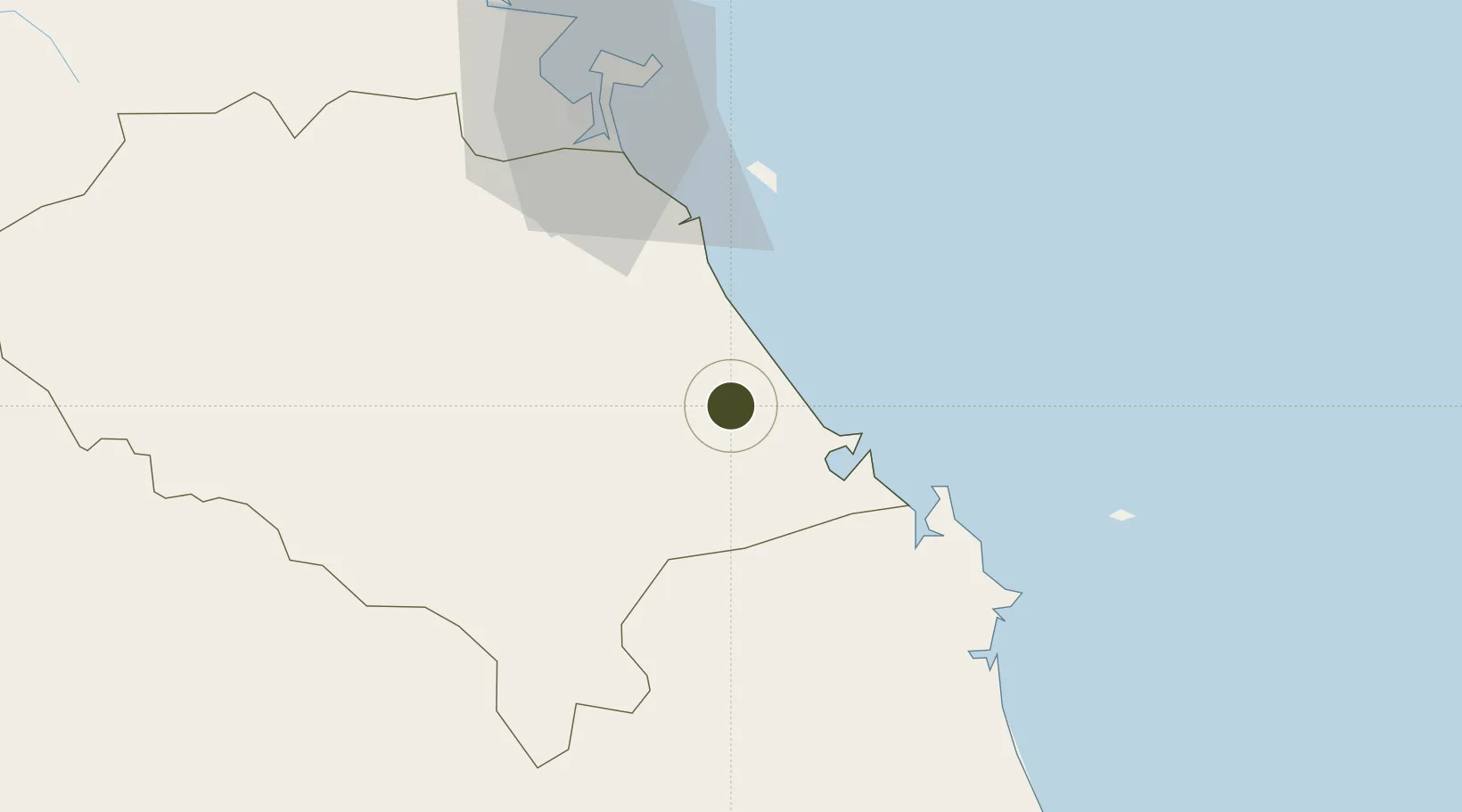
15.5641°, 108.4629°
174 ha
Zone area
65.1 km
Nearest port
31.6 km
Nearest airport

Gateway access

Nearest neighbours — logibook spatial index (haversine) over the source coordinates

Zone profile

Zone type
Industrial Zone
the World Bank SEZ database
Region
Quàng Nam
the World Bank SEZ database
Status
Active
the World Bank SEZ database
Established
2006
the World Bank SEZ database
Management
Public agency
the World Bank SEZ database
Operator
Center for Development Zones, Industry and Trade, Tam Ky city
the World Bank SEZ database
Regulatory authority
Chairmen of Provincial People's Committees
the World Bank SEZ database
Legal framework
Law on Foreign Investment in Vietnam, 1996; Decree No. 36/1997/CP on The Regulation of Industrial, Economic and Export processing zones
the World Bank SEZ database

Location

Location of VNM144
Natural Earth 10m (public domain) · Quàng Nam · VNM144 · 15.56, 108.46GoogleOSMYandex

Fiscal & incentives

Corporate tax
20%
the World Bank SEZ database
Tax relief
100% exempt
the World Bank SEZ database
Relief duration
4 years
the World Bank SEZ database
VAT
No exemption
the World Bank SEZ database
Import duty (inputs)
0% exempt
the World Bank SEZ database
Import duty (capex)
100% exempt
the World Bank SEZ database
Profit repatriation
No exemption
the World Bank SEZ database
Capital gains
No exemption
the World Bank SEZ database
Withholding tax
No exemption
the World Bank SEZ database
Min. investment
None
the World Bank SEZ database
Min. export
0%
the World Bank SEZ database
Employment incentive
No exemption
the World Bank SEZ database
Developer incentive
No established framework
the World Bank SEZ database

Nearby Logistics Neighbours

Ports
  1. 1Da Nang65 km
  2. 2Qui Nhon216 km
  3. 3Sanya324 km
  4. 4Nha Trang378 km
  5. 5Basuo394 km
Nearest neighbours — logibook spatial index (haversine) over the source coordinates
Airports
  1. 1Chu Lai Airport32 km
  2. 2Da Nang International Airport60 km
  3. 3Phu Bai International Airport124 km
  4. 4Pleiku Airport180 km
  5. 5Phu Cat Airport190 km
Nearest neighbours — logibook spatial index (haversine) over the source coordinates
Cities
  1. 1Thuan An23 km
  2. 2Ky Ha Terminal25 km
  3. 3Ky Ha Quang Nam Terminal26 km
  4. 4Dung Quat31 km
  5. 5Hoa Vang33 km
Nearest neighbours — logibook spatial index (haversine) over the source coordinates
Trade Zones
  1. 1Chu Lai Open Economic Zone9 km
  2. 2Thaco Industrial Park20 km
  3. 3Đông Quế Sơn Industrial Zone27 km
  4. 4Dung Quat Economic Zone42 km
  5. 5Dien Nam - Dien Ngoc Industrial Zone47 km
Nearest neighbours — logibook spatial index (haversine) over the source coordinates
DatabookThe Record of Consolidated Knowledge
Vietnam beyond logistics?
Browse databook

All Sources

Trade Zonesthe World Bank SEZ database
CC BY 4.0
Portsthe NGA World Port Index
Public domain (US gov)
AirportsOurAirports
Public domain
LocationsUN/LOCODE
UN/LOCODE — free
← Vietnam trade zones