Economic Zone · Vietnam

Dung Quat Economic Zone Active
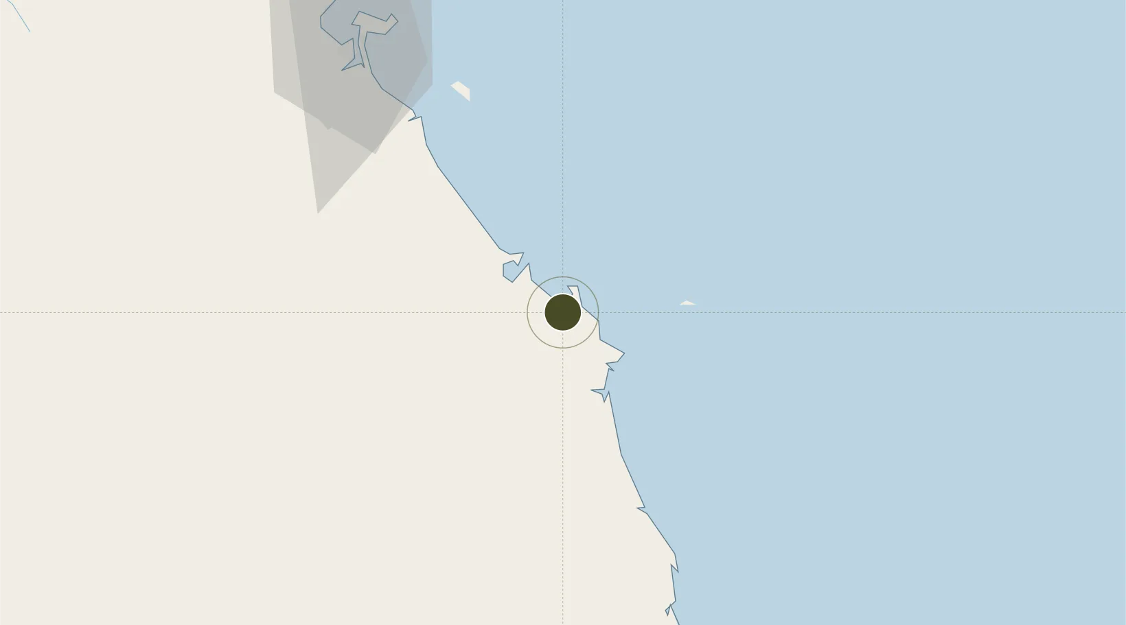
15.3588°, 108.7876°
45,332 ha
Zone area
102.6 km
Nearest port
10.1 km
Nearest airport

Gateway access

Nearest neighbours — logibook spatial index (haversine) over the source coordinates

Zone profile

Zone type
Economic Zone
the World Bank SEZ database
Region
Quảng Ngãi
the World Bank SEZ database
Status
Active
the World Bank SEZ database
Established
2005
the World Bank SEZ database
Management
Public agency
the World Bank SEZ database
Operator
Quang Ngai Industrial Zones Management Board
the World Bank SEZ database
Regulatory authority
Prime Minister
the World Bank SEZ database
Legal framework
Law on Foreign Investment in Vietnam, 1996; Decree No. 36/1997/CP on The Regulation of Industrial, Economic and Export processing zones
the World Bank SEZ database

Location

Location of VNM151
Natural Earth 10m (public domain) · Quảng Ngãi · VNM151 · 15.36, 108.79GoogleOSMYandex

Fiscal & incentives

Corporate tax
20%
the World Bank SEZ database
Tax relief
100% exempt
the World Bank SEZ database
Relief duration
4 years
the World Bank SEZ database
VAT
No exemption
the World Bank SEZ database
Import duty (inputs)
0% exempt
the World Bank SEZ database
Import duty (capex)
100% exempt
the World Bank SEZ database
Profit repatriation
No exemption
the World Bank SEZ database
Capital gains
No exemption
the World Bank SEZ database
Withholding tax
No exemption
the World Bank SEZ database
Min. investment
None
the World Bank SEZ database
Min. export
0%
the World Bank SEZ database
Employment incentive
No exemption
the World Bank SEZ database
Developer incentive
No established framework
the World Bank SEZ database

Nearby Logistics Neighbours

Ports
  1. 1Da Nang103 km
  2. 2Qui Nhon183 km
  3. 3Sanya336 km
  4. 4Nha Trang349 km
  5. 5Vinh Cam Ranh389 km
Nearest neighbours — logibook spatial index (haversine) over the source coordinates
Airports
  1. 1Chu Lai Airport10 km
  2. 2Da Nang International Airport99 km
  3. 3Phu Cat Airport159 km
  4. 4Phu Bai International Airport164 km
  5. 5Pleiku Airport172 km
Nearest neighbours — logibook spatial index (haversine) over the source coordinates
Cities
  1. 1Dung Quat11 km
  2. 2Ky Ha Quang Nam Terminal16 km
  3. 3Ky Ha Terminal18 km
  4. 4Thuan An20 km
  5. 5Hoa Vang70 km
Nearest neighbours — logibook spatial index (haversine) over the source coordinates
Trade Zones
  1. 1Tinh Phong Industrial Park18 km
  2. 2Thaco Industrial Park22 km
  3. 3Quang Phu Industrial Park27 km
  4. 4Thuan Yen Industrial Park42 km
  5. 5Chu Lai Open Economic Zone45 km
Nearest neighbours — logibook spatial index (haversine) over the source coordinates
DatabookThe Record of Consolidated Knowledge
Vietnam beyond logistics?
Browse databook

All Sources

Trade Zonesthe World Bank SEZ database
CC BY 4.0
Portsthe NGA World Port Index
Public domain (US gov)
AirportsOurAirports
Public domain
LocationsUN/LOCODE
UN/LOCODE — free
← Vietnam trade zones