Diversified Zone · Vietnam

Đông Quế Sơn Industrial Zone Active
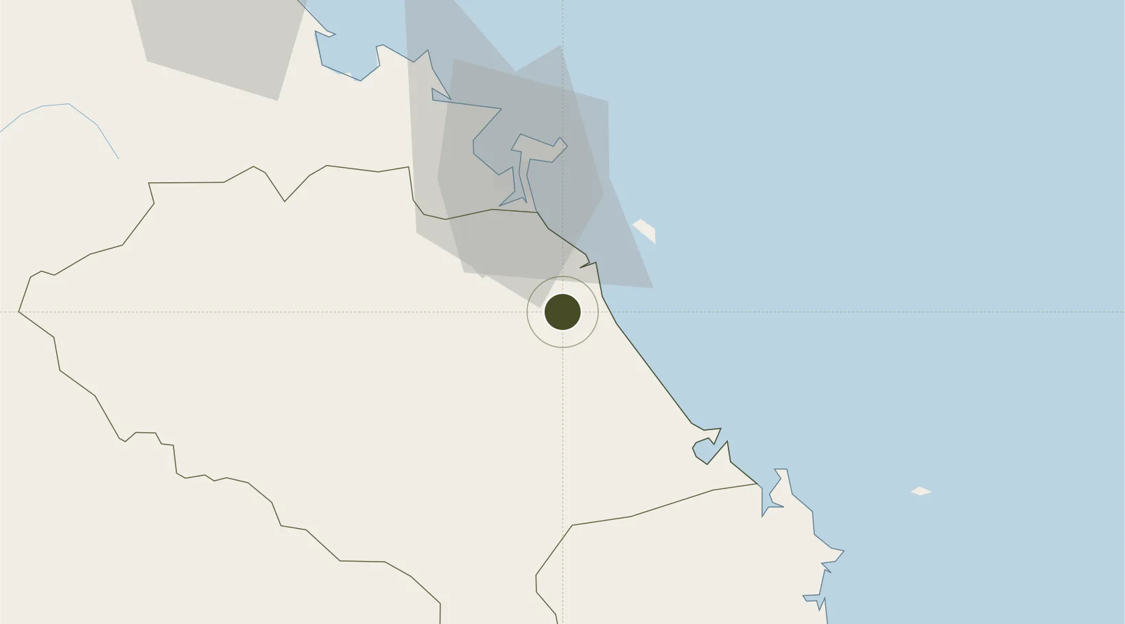
15.7726°, 108.3374°
211 ha
Zone area
38.6 km
Nearest port
33.6 km
Nearest airport

Gateway access

Nearest neighbours — logibook spatial index (haversine) over the source coordinates

Zone profile

Zone type
Diversified Zone
Open Zone Map
Region
Quàng Nam
Open Zone Map
Status
Active
Open Zone Map
Management
Public-Private Partnership
Open Zone Map
Operator
An Thinh Quang Nam Company Ltd. Quang Nam Industrial Zones Authority (QIZA).
Open Zone Map
Legal framework
Decree No.82/2018/ND-CP on Management of Industrial Parks and Economic Zones, Decree No 218/2013/ND-CP
Open Zone Map

Location

Location of ozm-5042
Natural Earth 10m (public domain) · Quàng Nam · ozm-5042 · 15.77, 108.34GoogleOSMYandex

Nearby Logistics Neighbours

Ports
  1. 1Da Nang39 km
  2. 2Qui Nhon243 km
  3. 3Sanya307 km
  4. 4Basuo371 km
  5. 5Nha Trang403 km
Nearest neighbours — logibook spatial index (haversine) over the source coordinates
Airports
  1. 1Da Nang International Airport34 km
  2. 2Chu Lai Airport57 km
  3. 3Phu Bai International Airport97 km
  4. 4Pleiku Airport200 km
  5. 5Phu Cat Airport216 km
Nearest neighbours — logibook spatial index (haversine) over the source coordinates
Cities
  1. 1Hoa Vang10 km
  2. 2Nguyen Van Troi Port33 km
  3. 3Song Han 933 km
  4. 4Da Nang38 km
  5. 5Hai Son38 km
Nearest neighbours — logibook spatial index (haversine) over the source coordinates
Trade Zones
  1. 1Dien Nam - Dien Ngoc Industrial Zone20 km
  2. 2Chu Lai Open Economic Zone22 km
  3. 3Thuan Yen Industrial Park27 km
  4. 4Đại Hiệp Industrial Zone29 km
  5. 5Hoa Cam Industrial Park31 km
Nearest neighbours — logibook spatial index (haversine) over the source coordinates
DatabookThe Record of Consolidated Knowledge
Vietnam beyond logistics?
Browse databook

All Sources

Trade ZonesOpen Zone Map
CC BY
Portsthe NGA World Port Index
Public domain (US gov)
AirportsOurAirports
Public domain
LocationsUN/LOCODE
UN/LOCODE — free
← Vietnam trade zones