UN/LOCODE hub · Vietnam
VNKYH

Ky Ha Terminal

15.4833°, 108.6833°
2
Transport functions

Transport Functions

Port
Road
UN/LOCODE

Hub Profile

Region
27
GeoNames

Location

Location of VNKYH
Natural Earth 10m (public domain) · 27 · VNKYH · 15.48, 108.68GoogleOSMYandex

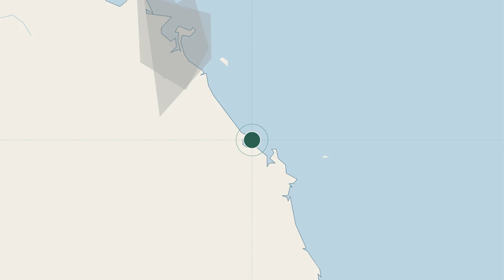
Nearby Logistics Neighbours

Cities
  1. 1Ky Ha Quang Nam Terminal2 km
  2. 2Thuan An3 km
  3. 3Dung Quat9 km
  4. 4Hoa Vang52 km
  5. 5Nguyen Van Troi Port80 km
Nearest neighbours — logibook spatial index (haversine) over the source coordinates
Ports
  1. 1Da Nang85 km
  2. 2Qui Nhon200 km
  3. 3Sanya325 km
  4. 4Nha Trang364 km
  5. 5Basuo402 km
Nearest neighbours — logibook spatial index (haversine) over the source coordinates
Airports
  1. 1Chu Lai Airport9 km
  2. 2Da Nang International Airport81 km
  3. 3Phu Bai International Airport146 km
  4. 4Phu Cat Airport174 km
  5. 5Pleiku Airport179 km
Nearest neighbours — logibook spatial index (haversine) over the source coordinates
Trade Zones
  1. 1Thaco Industrial Park8 km
  2. 2Dung Quat Economic Zone18 km
  3. 3Thuan Yen Industrial Park25 km
  4. 4Chu Lai Open Economic Zone27 km
  5. 5Tinh Phong Industrial Park34 km
Nearest neighbours — logibook spatial index (haversine) over the source coordinates
DatabookThe Record of Consolidated Knowledge
Vietnam beyond logistics?
Browse databook

All Sources

LocationsUN/LOCODE
UN/LOCODE — free
Portsthe NGA World Port Index
Public domain (US gov)
AirportsOurAirports
Public domain
Trade Zonesthe World Bank SEZ database
CC BY 4.0
Trade ZonesOpen Zone Map
CC BY
← Vietnam locations