Transport Functions
Multimodal
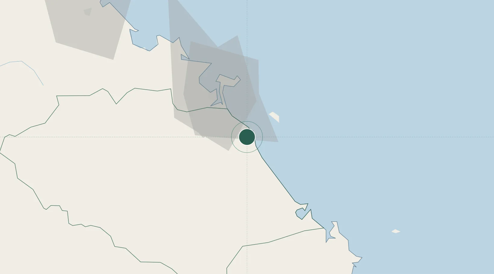
Hub Profile
Place type
Provincial seat
Region
Da Nang City
Time zone
Asia/Ho_Chi_Minh
Elevation
6 m
Logistics facilities
1
Location
Nearby Logistics Neighbours
Cities
- 1Nguyen Van Troi Port28 km
- 2Song Han 928 km
- 3Hai Son32 km
- 4Da Nang32 km
- 5Tien Sa Terminal35 km
Airports
- 1Da Nang International Airport29 km
- 2Chu Lai Airport61 km
- 3Phu Bai International Airport95 km
- 4Pleiku Airport209 km
- 5Phu Cat Airport222 km
Trade Zones
DatabookThe Record of Consolidated Knowledge
Vietnam beyond logistics?