Industrial Zone · Vietnam

Thaco Industrial Park
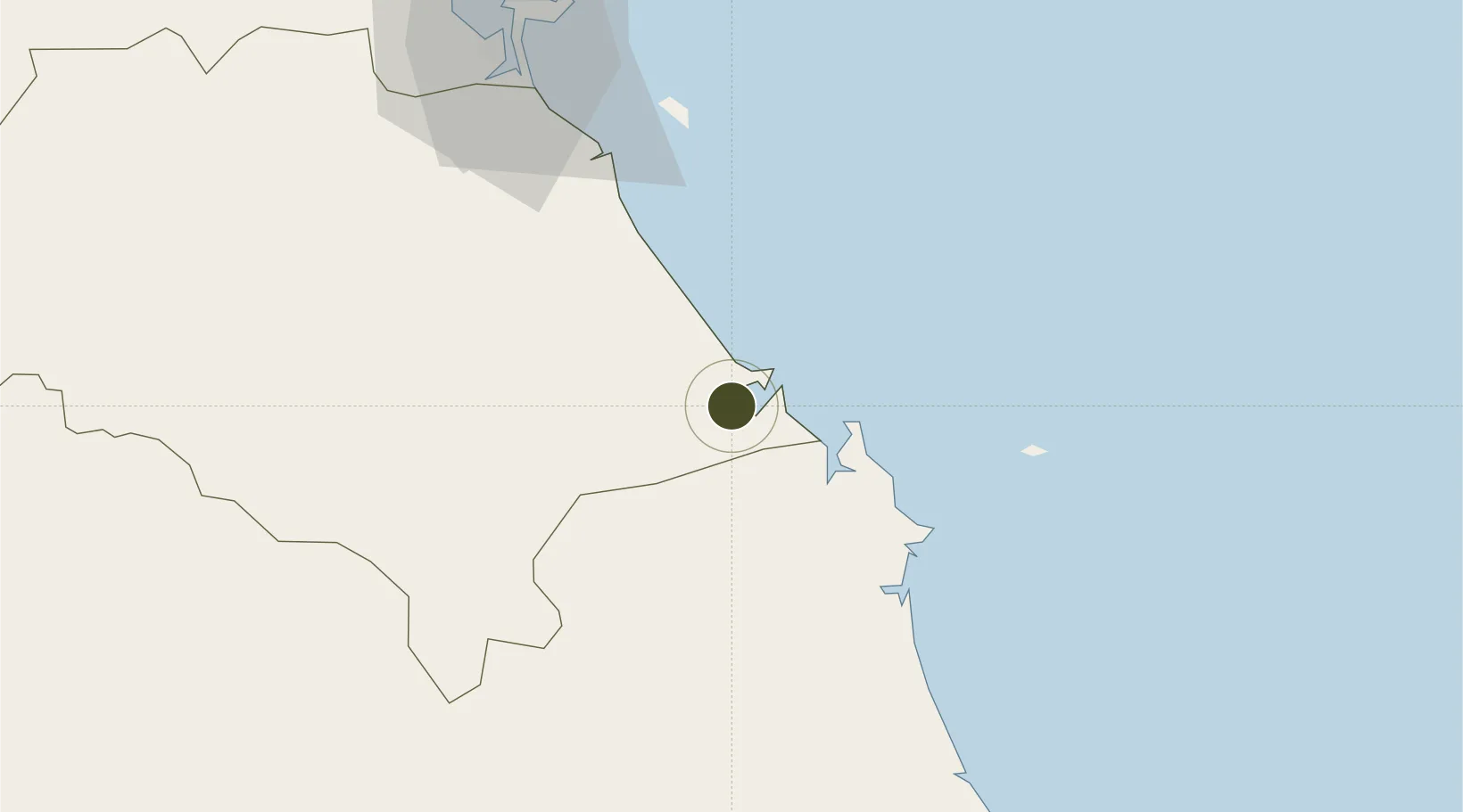
15.4554°, 108.6123°
243 ha
Zone area
83.2 km
Nearest port
11.6 km
Nearest airport

Gateway access

Nearest neighbours — logibook spatial index (haversine) over the source coordinates

Zone profile

Zone type
Industrial Zone
the World Bank SEZ database
Region
Quàng Nam
the World Bank SEZ database
Established
2004
the World Bank SEZ database
Management
Private management
the World Bank SEZ database
Operator
Trung Hai Auto Corporation
the World Bank SEZ database
Regulatory authority
Chairmen of Provincial People's Committees
the World Bank SEZ database
Legal framework
Law on Foreign Investment in Vietnam, 1996; Decree No. 36/1997/CP on The Regulation of Industrial, Economic and Export processing zones
the World Bank SEZ database

Location

Location of VNM140
Natural Earth 10m (public domain) · Quàng Nam · VNM140 · 15.46, 108.61GoogleOSMYandex

Fiscal & incentives

Corporate tax
20%
the World Bank SEZ database
Tax relief
100% exempt
the World Bank SEZ database
Relief duration
4 years
the World Bank SEZ database
VAT
No exemption
the World Bank SEZ database
Import duty (inputs)
0% exempt
the World Bank SEZ database
Import duty (capex)
100% exempt
the World Bank SEZ database
Profit repatriation
No exemption
the World Bank SEZ database
Capital gains
No exemption
the World Bank SEZ database
Withholding tax
No exemption
the World Bank SEZ database
Min. investment
None
the World Bank SEZ database
Min. export
0%
the World Bank SEZ database
Employment incentive
No exemption
the World Bank SEZ database
Developer incentive
No established framework
the World Bank SEZ database

Nearby Logistics Neighbours

Ports
  1. 1Da Nang83 km
  2. 2Qui Nhon199 km
  3. 3Sanya330 km
  4. 4Nha Trang363 km
  5. 5Vinh Cam Ranh402 km
Nearest neighbours — logibook spatial index (haversine) over the source coordinates
Airports
  1. 1Chu Lai Airport12 km
  2. 2Da Nang International Airport79 km
  3. 3Phu Bai International Airport143 km
  4. 4Phu Cat Airport173 km
  5. 5Pleiku Airport174 km
Nearest neighbours — logibook spatial index (haversine) over the source coordinates
Cities
  1. 1Thuan An8 km
  2. 2Ky Ha Quang Nam Terminal8 km
  3. 3Ky Ha Terminal8 km
  4. 4Dung Quat11 km
  5. 5Hoa Vang50 km
Nearest neighbours — logibook spatial index (haversine) over the source coordinates
Trade Zones
  1. 1Thuan Yen Industrial Park20 km
  2. 2Dung Quat Economic Zone22 km
  3. 3Chu Lai Open Economic Zone25 km
  4. 4Tinh Phong Industrial Park35 km
  5. 5Quang Phu Industrial Park41 km
Nearest neighbours — logibook spatial index (haversine) over the source coordinates
DatabookThe Record of Consolidated Knowledge
Vietnam beyond logistics?
Browse databook

All Sources

Trade Zonesthe World Bank SEZ database
CC BY 4.0
Portsthe NGA World Port Index
Public domain (US gov)
AirportsOurAirports
Public domain
LocationsUN/LOCODE
UN/LOCODE — free
← Vietnam trade zones