UN/LOCODE hub · Vietnam
VNTHU

Thuan An

15.5000°, 108.6667°
2
Transport functions

Transport Functions

Port
Road
UN/LOCODE

Hub Profile

Place type
Populated place
GeoNames
Region
Da Nang City
GeoNames
Time zone
Asia/Ho_Chi_Minh
GeoNames
Elevation
1 m
GeoNames

Location

Location of VNTHU
Natural Earth 10m (public domain) · Da Nang City · VNTHU · 15.50, 108.67GoogleOSMYandex

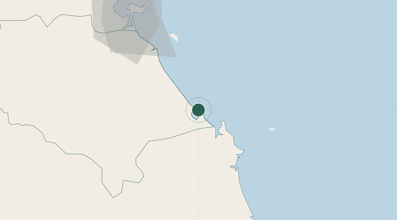
Nearby Logistics Neighbours

Cities
  1. 1Ky Ha Terminal3 km
  2. 2Ky Ha Quang Nam Terminal4 km
  3. 3Dung Quat12 km
  4. 4Hoa Vang50 km
  5. 5Nguyen Van Troi Port78 km
Nearest neighbours — logibook spatial index (haversine) over the source coordinates
Ports
  1. 1Da Nang82 km
  2. 2Qui Nhon202 km
  3. 3Sanya324 km
  4. 4Nha Trang367 km
  5. 5Basuo400 km
Nearest neighbours — logibook spatial index (haversine) over the source coordinates
Airports
  1. 1Chu Lai Airport12 km
  2. 2Da Nang International Airport79 km
  3. 3Phu Bai International Airport144 km
  4. 4Phu Cat Airport177 km
  5. 5Pleiku Airport180 km
Nearest neighbours — logibook spatial index (haversine) over the source coordinates
Trade Zones
  1. 1Thaco Industrial Park8 km
  2. 2Dung Quat Economic Zone20 km
  3. 3Thuan Yen Industrial Park23 km
  4. 4Chu Lai Open Economic Zone25 km
  5. 5Tinh Phong Industrial Park36 km
Nearest neighbours — logibook spatial index (haversine) over the source coordinates
DatabookThe Record of Consolidated Knowledge
Vietnam beyond logistics?
Browse databook

All Sources

LocationsUN/LOCODE
UN/LOCODE — free
Portsthe NGA World Port Index
Public domain (US gov)
AirportsOurAirports
Public domain
Trade Zonesthe World Bank SEZ database
CC BY 4.0
Trade ZonesOpen Zone Map
CC BY
← Vietnam locations