UN/LOCODE hub · Vietnam
VNKYQ

Ky Ha Quang Nam Terminal

15.4667°, 108.6833°
2
Transport functions

Transport Functions

Port
Road
UN/LOCODE

Hub Profile

Region
27
GeoNames

Location

Location of VNKYQ
Natural Earth 10m (public domain) · 27 · VNKYQ · 15.47, 108.68GoogleOSMYandex

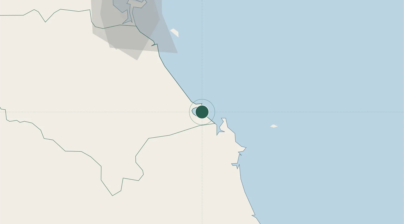
Nearby Logistics Neighbours

Cities
  1. 1Ky Ha Terminal2 km
  2. 2Thuan An4 km
  3. 3Dung Quat8 km
  4. 4Hoa Vang54 km
  5. 5Nguyen Van Troi Port82 km
Nearest neighbours — logibook spatial index (haversine) over the source coordinates
Ports
  1. 1Da Nang86 km
  2. 2Qui Nhon198 km
  3. 3Sanya327 km
  4. 4Nha Trang363 km
  5. 5Vinh Cam Ranh402 km
Nearest neighbours — logibook spatial index (haversine) over the source coordinates
Airports
  1. 1Chu Lai Airport8 km
  2. 2Da Nang International Airport83 km
  3. 3Phu Bai International Airport148 km
  4. 4Phu Cat Airport173 km
  5. 5Pleiku Airport178 km
Nearest neighbours — logibook spatial index (haversine) over the source coordinates
Trade Zones
  1. 1Thaco Industrial Park8 km
  2. 2Dung Quat Economic Zone16 km
  3. 3Thuan Yen Industrial Park26 km
  4. 4Chu Lai Open Economic Zone28 km
  5. 5Tinh Phong Industrial Park32 km
Nearest neighbours — logibook spatial index (haversine) over the source coordinates
DatabookThe Record of Consolidated Knowledge
Vietnam beyond logistics?
Browse databook

All Sources

LocationsUN/LOCODE
UN/LOCODE — free
Portsthe NGA World Port Index
Public domain (US gov)
AirportsOurAirports
Public domain
Trade Zonesthe World Bank SEZ database
CC BY 4.0
Trade ZonesOpen Zone Map
CC BY
← Vietnam locations